
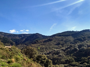
Puerto Blanquillo from Fabrica de la Luz, Canillas
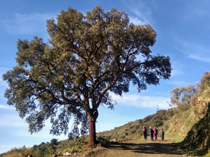
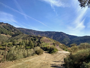
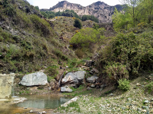
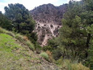
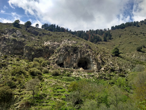
A high level traverse along forest tracks to the Puerto Blanquillo with extensive views down the valley and out towards the sea followed by a delightful descent down an interesting barranco.
Spanish maps included within these descriptions are provided courtesy of the Spanish IGN and remain © Instituto Geográfico Nacional.
OSM (OpenStreetMap) and OCM (OpenCycleMap) maps are © OpenStreetMap Contributors. The OSM project welcomes contributions from all to enrich the map data, which is made freely available. Land (Thunderforest Landscape) maps are © Thunderforest based on data © OpenStreetMap contributors.
The grade of this walk is S/A, which means
S – Strenuous: More than 600 metres ascent and/or more than 15km in length with steep, loose or heavily vegetated sections.
A – All good tracks.
| Nearest town | Canillas de Alabida |
| Directions to start |
Arriving on the A7207 at the SE outskirts of the village Fabirca de la Luz is signposted up a road on the RHS. Follow the signs all the way to the end of the road and park near the Recreation Area. |
| Start point (Lat/Long) | 36.864050, -3.970590 Click here to view in Google Maps (in a new browser tab) |
| Length (km) | 16.50 |
| Ascent (metres) | 650 |
| Walking time (hours) | 5 |
| Total time (hours) | 6 |
| Recommendations or Restrictions | None. Times in this description include stops |
Download walk descriptionDownload GPS file
Comments
Puerto Blanquillo from Fabrica de la Luz, Canillas — No Comments
HTML tags allowed in your comment: <a href="" title=""> <abbr title=""> <acronym title=""> <b> <blockquote cite=""> <cite> <code> <del datetime=""> <em> <i> <q cite=""> <s> <strike> <strong>