
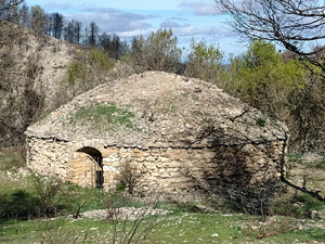
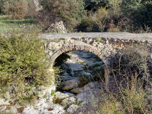
Alcala de la Jovada – Moorish Circuit
A circular walk with varied paths and tracks through interesting and historic countryside with extensive views.
Spanish maps included within these descriptions are provided courtesy of the Spanish IGN and remain © Instituto Geográfico Nacional.
OSM (OpenStreetMap) and OCM (OpenCycleMap) maps are © OpenStreetMap Contributors. The OSM project welcomes contributions from all to enrich the map data, which is made freely available. Land (Thunderforest Landscape) maps are © Thunderforest based on data © OpenStreetMap contributors.
The grade of this walk is MS/C, which means
MS – Moderately Strenuous: Up to 600 metres ascent and/or no more than 15 km in length with some rough going taken at a reasonable pace.
C – More than half the route on rough ground.
| Nearest town | Alcala de la Jovada |
| Directions to start |
From the Orba to Pego road near Pego take the CV712 signed to Vall d’Ebo. Continue past Vall d’Ebo to Alcala de la Jovada. Park near swimming pool. |
| Start point (Lat/Long) | 38.794080, -0.253850 Click here to view in Google Maps (in a new browser tab) |
| Length (km) | 13.00 |
| Ascent (metres) | 400 |
| Walking time (hours) | 3.75 |
| Total time (hours) | 5 |
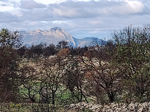
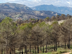
| Recommendations or Restrictions | Walk description created after an episode of severe fire damage to area (reflected in some of photos) The details are considerate of future regeneration of Flora on the route. |
Download walk descriptionDownload GPS file
Comments
Alcala de la Jovada – Moorish Circuit — No Comments
HTML tags allowed in your comment: <a href="" title=""> <abbr title=""> <acronym title=""> <b> <blockquote cite=""> <cite> <code> <del datetime=""> <em> <i> <q cite=""> <s> <strike> <strong>