
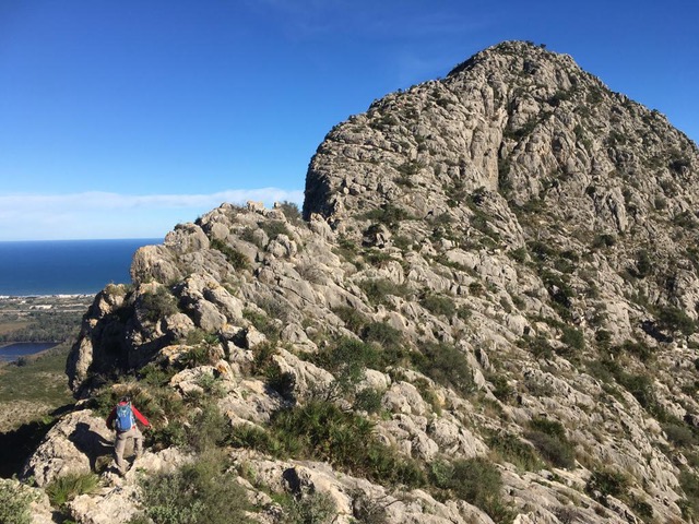
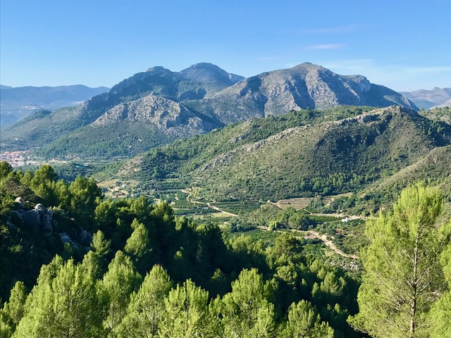
Segaria Ridge Scramble from the West
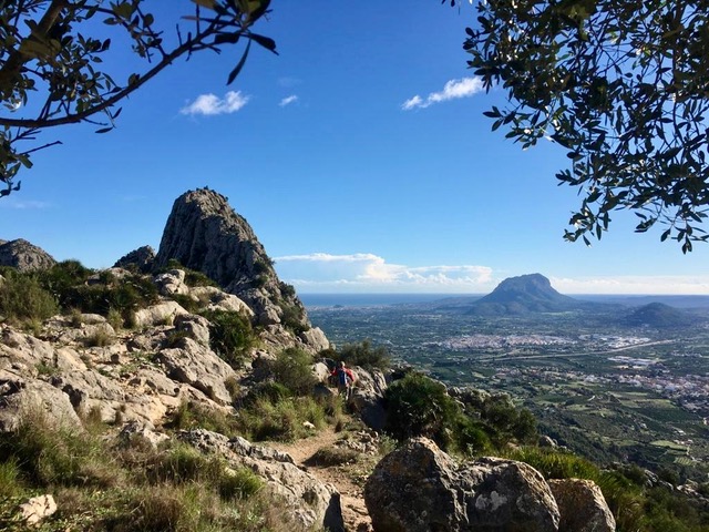
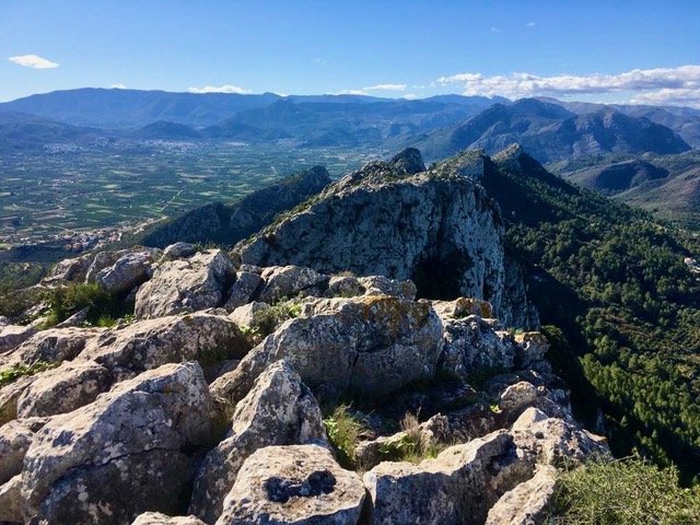
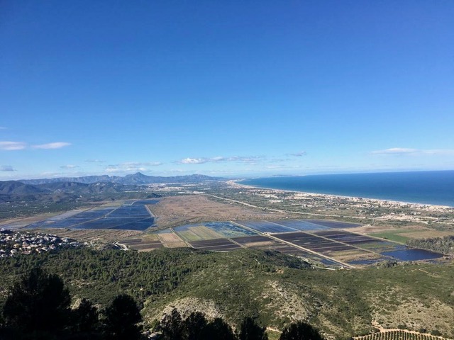
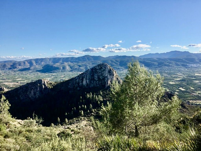
A classic summit via a demanding ridge scramble. Paths lead around and up the western end of the ridge onto its crest, then along the northern flank to gain the impressive notch. About 1km of rugged scrambling and boulder hopping lead over the summit to the col beyond. Return along the northern flank to regain the ridge crossed earlier before descending directly to Benimeli. Tremendous views and airy situations.
Spanish maps included within these descriptions are provided courtesy of the Spanish IGN and remain © Instituto Geográfico Nacional.
OSM (OpenStreetMap) and OCM (OpenCycleMap) maps are © OpenStreetMap Contributors. The OSM project welcomes contributions from all to enrich the map data, which is made freely available. Land (Thunderforest Landscape) maps are © Thunderforest based on data © OpenStreetMap contributors.
The grade of this walk is S/C/Scr/X, which means
S – Strenuous: More than 600 metres ascent and/or more than 15km in length with steep, loose or heavily vegetated sections.
C – More than half the route on rough ground.
Scr – Scrambling: This implies the need for handholds to ascend steep rock pitches with a sense of exposure to vertigo and where a slip could lead to a serious accident.
X – Experienced walkers route: the route requires considerable stamina and/or significant scrambling skills on rough, steep or exposed sections.
| Nearest town | Benimeli |
| Directions to start |
Take the CV729 to Benimeli. In centre of Benimeli turn off the CV729 following brown sign “Pou de Baix”. Park near outdoor piscina. |
| Start point (Lat/Long) | 38.820390, -0.043004 Click here to view in Google Maps (in a new browser tab) |
| Length (km) | 10.00 |
| Ascent (metres) | 700 |
| Walking time (hours) | 4 |
| Total time (hours) | 5.5 |
| Recommendations or Restrictions | The N side of the ridge can be wet and shady at almost any time of year. It is steep and the going can be dangerous in damp conditions. At the time of writing some sections of the Y/W paths on the N side are somewhat overgrown. The timing for the approximately 1km section from the notch to the col at ‘Portet d’Ondara’, will vary greatly depending on the scrambling ability of the party. |
Download walk descriptionDownload GPS file
Comments
Segaria Ridge Scramble from the West — No Comments
HTML tags allowed in your comment: <a href="" title=""> <abbr title=""> <acronym title=""> <b> <blockquote cite=""> <cite> <code> <del datetime=""> <em> <i> <q cite=""> <s> <strike> <strong>