
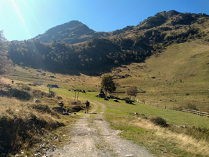
Montcorbison and Tuc de Letassi circuit from Bassa d’Oles
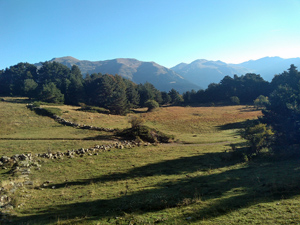
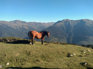
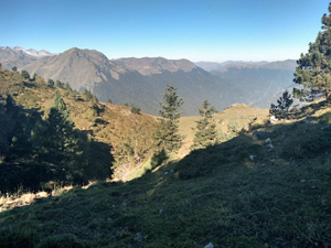
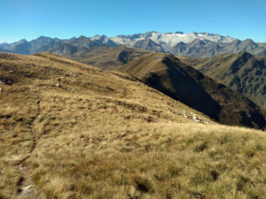
A stiff climb from a picnic spot to a high ridge with fantastic views and return through meadows and forestry.
Spanish maps included within these descriptions are provided courtesy of the Spanish IGN and remain © Instituto Geográfico Nacional.
OSM (OpenStreetMap) and OCM (OpenCycleMap) maps are © OpenStreetMap Contributors. The OSM project welcomes contributions from all to enrich the map data, which is made freely available. Land (Thunderforest Landscape) maps are © Thunderforest based on data © OpenStreetMap contributors.
The grade of this walk is S/B, which means
S – Strenuous: More than 600 metres ascent and/or more than 15km in length with steep, loose or heavily vegetated sections.
B – Less than half the route on rough ground.
| Nearest town | Gausac |
| Directions to start |
From the middle of Vielha there is a roundabout with the main N-S road – the N230 – and the valley road – the C28 and from here a minor road leads up to Gaussac. Follow this through the village and keep following signs to Bassa d’Oles up through zig-zags to arrive at the lake and field parking. |
| Start point (Lat/Long) | 42.715000, 0.774300 Click here to view in Google Maps (in a new browser tab) |
| Length (km) | 11.50 |
| Ascent (metres) | 725 |
| Walking time (hours) | 3.5 |
| Total time (hours) | 5.25 |
| Recommendations or Restrictions | Good navigation and tolerance for steep climbs required. |
Download walk descriptionDownload GPS file
Comments
Montcorbison and Tuc de Letassi circuit from Bassa d’Oles — No Comments
HTML tags allowed in your comment: <a href="" title=""> <abbr title=""> <acronym title=""> <b> <blockquote cite=""> <cite> <code> <del datetime=""> <em> <i> <q cite=""> <s> <strike> <strong>