
Pic L’Ouet (La Casa del Guarda) – Favara
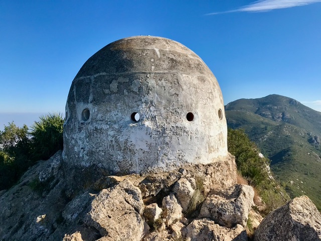
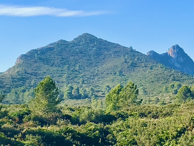
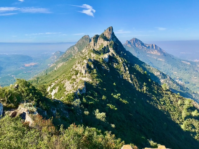
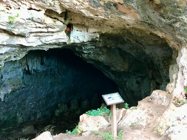
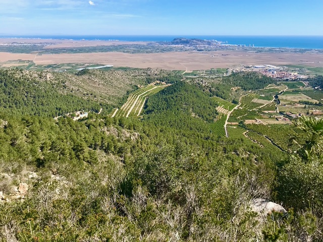
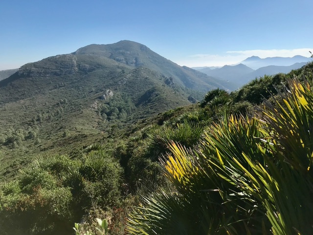
A circuit over Pic L’Ouet a summit on the most northerly sierra of the Costa Blanca Mountain range. It follows the paths and variations of ‘Senderisme A Favara’. A varied route, along low ridges, steep slopes and the descent of a Barranc. Visiting two caves and the unique summit structure of ‘La Casa Del Guarda’. Some steep, rough terrain, with a few scrambly moves both up and down and a little scratchy in places. There are fine views along this fabulous ridge of rocky summits and out over the Valencia plains.
Spanish maps included within these descriptions are provided courtesy of the Spanish IGN and remain © Instituto Geográfico Nacional.
OSM (OpenStreetMap) and OCM (OpenCycleMap) maps are © OpenStreetMap Contributors. The OSM project welcomes contributions from all to enrich the map data, which is made freely available. Land (Thunderforest Landscape) maps are © Thunderforest based on data © OpenStreetMap contributors.
The grade of this walk is S/C, which means
S – Strenuous: More than 600 metres ascent and/or more than 15km in length with steep, loose or heavily vegetated sections.
C – More than half the route on rough ground.
| Nearest town | Favara |
| Directions to start |
Leave AP 7 at junction 59 towards Favara, at roundabout turn R onto N332. In centre of Favara turn R onto CV-510, take the 2nd street on the R into ‘C Del Rei En Pere’, park on roadside. Adjacent to a square with fountain & cafe beside it. |
| Start point (Lat/Long) | 39.128080, -0.291940 Click here to view in Google Maps (in a new browser tab) |
| Length (km) | 10.50 |
| Ascent (metres) | 700 |
| Walking time (hours) | 4 |
| Total time (hours) | 6 |
| Recommendations or Restrictions |
Download walk descriptionDownload GPS file
Comments
Pic L’Ouet (La Casa del Guarda) – Favara — No Comments
HTML tags allowed in your comment: <a href="" title=""> <abbr title=""> <acronym title=""> <b> <blockquote cite=""> <cite> <code> <del datetime=""> <em> <i> <q cite=""> <s> <strike> <strong>