
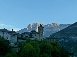
Ordessa gorge via Faja de Pelay
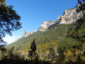
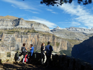
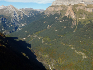
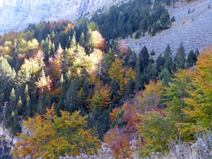
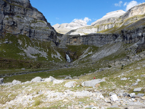
The most talked about walk in Spain – justifiably so. It is a fantastic walk along a high crag with views into the park and across the valley followed by a return journey with valley views and spectacular crags above.
The park staff “sell” this walk as having 600m of steep ascent at the beginning and then level and downhill. This is untrue – there are considerable undulations along the way!
Spanish maps included within these descriptions are provided courtesy of the Spanish IGN and remain © Instituto Geográfico Nacional.
OSM (OpenStreetMap) and OCM (OpenCycleMap) maps are © OpenStreetMap Contributors. The OSM project welcomes contributions from all to enrich the map data, which is made freely available. Land (Thunderforest Landscape) maps are © Thunderforest based on data © OpenStreetMap contributors.
The grade of this walk is VS/A, which means
VS – Very Strenuous: More than 800 metres ascent and/or more than 20km in length with steep, loose or heavily vegetated sections.
A – All on good tracks
| Nearest town | Torla |
| Directions to start |
In summer it is necessary to park at the Visitor Centre in Torla and take the transfer bus (keep your ticket for the return). In winter you can drive into into the main car park (as per grid ref above). There is also a visitor centre here. |
| Start point (Lat/Long) | 42.649202, -0.057949 Click here to view in Google Maps (in a new browser tab) |
| Length (km) | 20.00 |
| Ascent (metres) | 850 |
| Walking time (hours) | 5.75 |
| Total time (hours) | 7.00 |
| Recommendations or Restrictions | None |
Download walk descriptionDownload GPS file
Comments
Ordessa gorge via Faja de Pelay — No Comments
HTML tags allowed in your comment: <a href="" title=""> <abbr title=""> <acronym title=""> <b> <blockquote cite=""> <cite> <code> <del datetime=""> <em> <i> <q cite=""> <s> <strike> <strong>