
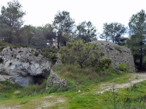
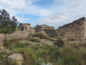
On the trail of Al Azraq
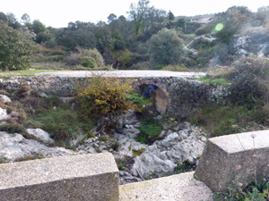
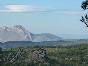
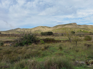
An historic walk taking in some interesting sights in otherwise ordinary terrain. Views into the Barranco de Malafi.
Spanish maps included within these descriptions are provided courtesy of the Spanish IGN and remain © Instituto Geográfico Nacional.
OSM (OpenStreetMap) and OCM (OpenCycleMap) maps are © OpenStreetMap Contributors. The OSM project welcomes contributions from all to enrich the map data, which is made freely available. Land (Thunderforest Landscape) maps are © Thunderforest based on data © OpenStreetMap contributors.
The grade of this walk is MS/B, which means
MS – Moderately Strenuous: Up to 600 metres ascent and/or no more than 15 km in length with some rough going taken at a reasonable pace.
B – Less than half the route on rough ground
| Nearest town | Alcala de la Jovada |
| Directions to start |
From the coast take the CV700 to Pego and then find the CV715 and CV712 which leave this and heads first to Vall d’Ebo over a fabulous pass and then onward to Alcala de la Jovada. At the outskirts of the village turn L on a minor road and park anywhere you can. |
| Start point (Lat/Long) | 38.795914, -0.251166 Click here to view in Google Maps (in a new browser tab) |
| Length (km) | 13.50 |
| Ascent (metres) | 500 |
| Walking time (hours) | 4.00 |
| Total time (hours) | 5.25 |
| Recommendations or Restrictions | Good navigational skills or use of an accurate gps is necessary for the adventurous alternative. |
Download walk descriptionDownload GPS file

Comments
On the trail of Al Azraq — No Comments
HTML tags allowed in your comment: <a href="" title=""> <abbr title=""> <acronym title=""> <b> <blockquote cite=""> <cite> <code> <del datetime=""> <em> <i> <q cite=""> <s> <strike> <strong>