
El Penyot, Sierra de Venta and Maserof
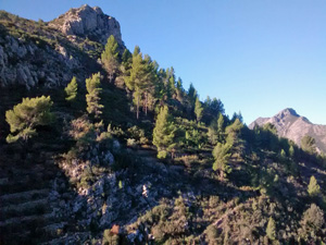
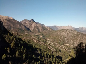
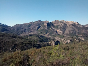
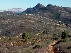
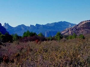
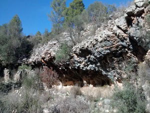
A lovely outing across easy hills affording great views of some of the tougher surrounding mountains. A rugged barranco to finish.
Spanish maps included within these descriptions are provided courtesy of the Spanish IGN and remain © Instituto Geográfico Nacional.
OSM (OpenStreetMap) and OCM (OpenCycleMap) maps are © OpenStreetMap Contributors. The OSM project welcomes contributions from all to enrich the map data, which is made freely available. Land (Thunderforest Landscape) maps are © Thunderforest based on data © OpenStreetMap contributors.
The grade of this walk is S/C, which means
S – Strenuous: More than 600 metres ascent and/or more than 15km in length with steep, loose or heavily vegetated sections.
C – More than half the route on rough ground.
| Nearest town | Jalon |
| Directions to start |
From Jalon take the CV749 to just beyond km2 and find a parking area at the start of a track on the LHS with a Y/W finger post. |
| Start point (Lat/Long) | 38.727632, -0.018448 Click here to view in Google Maps (in a new browser tab) |
| Length (km) | 17.00 |
| Ascent (metres) | 600 |
| Walking time (hours) | 4.50 |
| Total time (hours) | 5.50 |
| Recommendations or Restrictions | Some careful navigation required on some parts of the walk. The barranco boulder hopping is tiring at the end of the day. |
Download walk descriptionDownload GPS file
Comments
El Penyot, Sierra de Venta and Maserof — No Comments
HTML tags allowed in your comment: <a href="" title=""> <abbr title=""> <acronym title=""> <b> <blockquote cite=""> <cite> <code> <del datetime=""> <em> <i> <q cite=""> <s> <strike> <strong>