
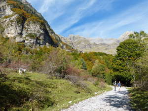
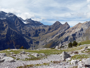
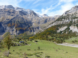
Ermita de Pineta to Espierba
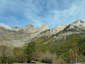
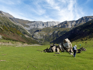
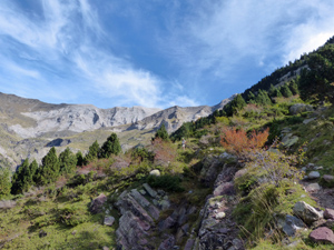
A magnificent round with wide views of the high tops to begin with followed by an open ridge traverse and descent on wide tracks to Espierba.
Spanish maps included within these descriptions are provided courtesy of the Spanish IGN and remain © Instituto Geográfico Nacional.
OSM (OpenStreetMap) and OCM (OpenCycleMap) maps are © OpenStreetMap Contributors. The OSM project welcomes contributions from all to enrich the map data, which is made freely available. Land (Thunderforest Landscape) maps are © Thunderforest based on data © OpenStreetMap contributors.
The grade of this walk is VS/B, which means
VS – Very Strenuous: More than 800 metres ascent and/or more than 20km in length with steep, loose or heavily vegetated sections.
B – Less than half the route on rough ground.
| Nearest town | Bielsa |
| Directions to start |
From northern Spain, E of both Jaca and Sabinanigo take the A138 north to find Bielsa village. There turn L on a minor road towards La Pineta. The car park is down a small lane on the LHS and across a bridge just before the Ermita and the Parador. There is an Ordessa Park information office and a small bar here. |
| Start point (Lat/Long) | 42.678308, 0.085042 Click here to view in Google Maps (in a new browser tab) |
| Length (km) | 15.50 |
| Ascent (metres) | 850 |
| Walking time (hours) | 4.25 |
| Total time (hours) | 5.66 |
| Recommendations or Restrictions | None |
Download walk descriptionDownload GPS file
Comments
Ermita de Pineta to Espierba — No Comments
HTML tags allowed in your comment: <a href="" title=""> <abbr title=""> <acronym title=""> <b> <blockquote cite=""> <cite> <code> <del datetime=""> <em> <i> <q cite=""> <s> <strike> <strong>