
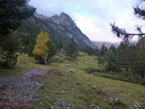
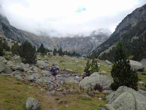
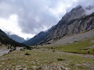
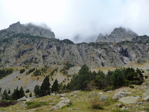
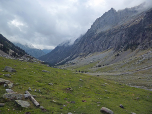
Refugio de Barrossa via Rio de Barrossa
A glorious valley with opportunities to continue to the Puerta Barrossa if time, energy and weather allow. Linear walk.
Spanish maps included within these descriptions are provided courtesy of the Spanish IGN and remain © Instituto Geográfico Nacional.
OSM (OpenStreetMap) and OCM (OpenCycleMap) maps are © OpenStreetMap Contributors. The OSM project welcomes contributions from all to enrich the map data, which is made freely available. Land (Thunderforest Landscape) maps are © Thunderforest based on data © OpenStreetMap contributors.
The grade of this walk is M/A, which means
M – Moderate: up to 12km in length, less than 400 metres ascent and less than 50% rough going.
A – All on good tracks
| Nearest town | Bielsa |
| Directions to start |
From northern Spain, E of both Jaca and Sabinanigo take the A138 north to find Bielsa village. Continue N on the A138 towards France passing the small village of Parzan on the way. Continue N and pass a sign on the RHS to Ibon de Urdiceto and nearly 5km after Parzan look out for parking on the LHS at the start of a forest track. |
| Start point (Lat/Long) | 42.701376, 0.201045 Click here to view in Google Maps (in a new browser tab) |
| Length (km) | 9.50 |
| Ascent (metres) | 380 |
| Walking time (hours) | 2.50 |
| Total time (hours) | 3.25 |
| Recommendations or Restrictions | None |
Download walk descriptionDownload GPS file
Comments
Refugio de Barrossa via Rio de Barrossa — No Comments
HTML tags allowed in your comment: <a href="" title=""> <abbr title=""> <acronym title=""> <b> <blockquote cite=""> <cite> <code> <del datetime=""> <em> <i> <q cite=""> <s> <strike> <strong>