
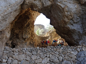
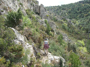
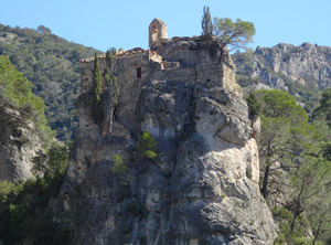
Cova Lluminosa and Els Martells Circuit
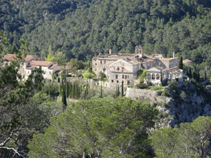
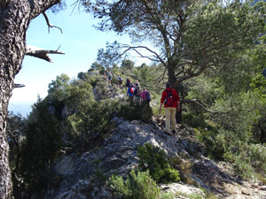
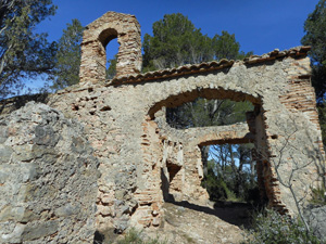
A delightful walk through woodland and along open ridges via several romantically decaying Ermitas, established by the Carmelite nuns in the 17th century.
Spanish maps included within these descriptions are provided courtesy of the Spanish IGN and remain © Instituto Geográfico Nacional.
OSM (OpenStreetMap) and OCM (OpenCycleMap) maps are © OpenStreetMap Contributors. The OSM project welcomes contributions from all to enrich the map data, which is made freely available. Land (Thunderforest Landscape) maps are © Thunderforest based on data © OpenStreetMap contributors.
The grade of this walk is MS/B, which means
MS – Moderately Strenuous: Up to 600 metres ascent and/or no more than 15 km in length with some rough going taken at a reasonable pace.
B – Less than half the route on rough ground
| Nearest town | Rasquera |
| Directions to start |
From Rasquera follow the narrow and scenic road to the Balneari de Cardó, reached after nine kilometres at the end of the road. |
| Start point (Lat/Long) | 40.951572, 0.577450 Click here to view in Google Maps (in a new browser tab) |
| Length (km) | 6.00 |
| Ascent (metres) | 480 |
| Walking time (hours) | 3.5 |
| Total time (hours) | 4.5 |
| Recommendations or Restrictions | None |
Download walk descriptionDownload GPS file
Comments
Cova Lluminosa and Els Martells Circuit — No Comments
HTML tags allowed in your comment: <a href="" title=""> <abbr title=""> <acronym title=""> <b> <blockquote cite=""> <cite> <code> <del datetime=""> <em> <i> <q cite=""> <s> <strike> <strong>