
A shorter version of Sender Del Seguili
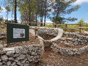
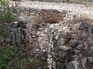
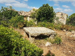
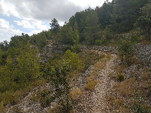
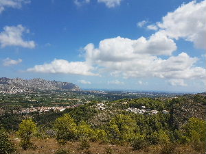
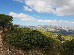
This is a short version of the recently created walk PR-CV445 around the hills above the village of Benidoleig. The walk has wonderful views down into the Orba valley and out to the coast. Along the route there are information boards identifying flora and fauna and historical landmarks. A couple of steep sections of path but the going is good and the walk will betaken at an easy pace.
Spanish maps included within these descriptions are provided courtesy of the Spanish IGN and remain © Instituto Geográfico Nacional.
OSM (OpenStreetMap) and OCM (OpenCycleMap) maps are © OpenStreetMap Contributors. The OSM project welcomes contributions from all to enrich the map data, which is made freely available. Land (Thunderforest Landscape) maps are © Thunderforest based on data © OpenStreetMap contributors.
The grade of this walk is M/B, which means
M – Moderate: up to 12km in length, less than 400 metres ascent and less than 50% rough going.
B – Less than half the route on rough ground
| Nearest town | Benidoleig |
| Directions to start |
Enter Benidoleig using the CV 731 or CV733. At the roundabout in Benidoleig park close to the Bar Ballestra. There is parking around the bus stop and the area by the recycle bins. There is additional parking behind the newly built houses. |
| Start point (Lat/Long) | 38.792867, -0.028077 Click here to view in Google Maps (in a new browser tab) |
| Length (km) | 8.70 |
| Ascent (metres) | 330 |
| Walking time (hours) | 2.33 |
| Total time (hours) | 3 |
| Recommendations or Restrictions | None |
Download walk descriptionDownload GPS file
Going out in October . Going to do this one for sure . Staying in the town .