
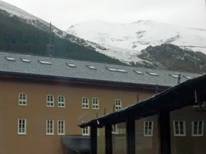
GR11 – Day 39. Planoles to Nuria
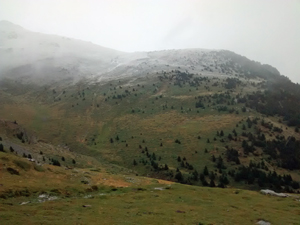
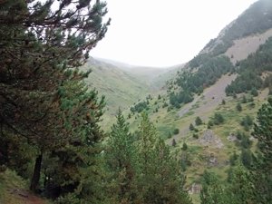
A rising traverse across the flanks of Puigmal – one of Catalonya’s higheste mountains – avoiding the official GR11 descent to Qeralbs and re-ascent to Nuria (our final destination).
Spanish maps included within these descriptions are provided courtesy of the Spanish IGN and remain © Instituto Geográfico Nacional.
OSM (OpenStreetMap) and OCM (OpenCycleMap) maps are © OpenStreetMap Contributors. The OSM project welcomes contributions from all to enrich the map data, which is made freely available. Land (Thunderforest Landscape) maps are © Thunderforest based on data © OpenStreetMap contributors.
The grade of this walk is VS/B, which means
VS – Very Strenuous: More than 800 metres ascent and/or more than 20km in length with steep, loose or heavily vegetated sections.
B – Less than half the route on rough ground.
| Nearest town | Planoles |
| Directions to start |
From the N outskirts of Barcelona th C17 road runs N past Vic and Ripoll where it gives out to the N260 road. Follow this for some 23km to reach the village of Planoles. The Restaurant Cal Daldo is in the middle in Plaza Baronia. |
| Start point (Lat/Long) | 42.316137, 2.102772 Click here to view in Google Maps (in a new browser tab) |
| Length (km) | 15.50 |
| Ascent (metres) | 1370 |
| Walking time (hours) | 4.25 |
| Total time (hours) | 5.5 |
| Recommendations or Restrictions | None |
Download walk descriptionDownload GPS file
Comments
GR11 – Day 39. Planoles to Nuria — No Comments
HTML tags allowed in your comment: <a href="" title=""> <abbr title=""> <acronym title=""> <b> <blockquote cite=""> <cite> <code> <del datetime=""> <em> <i> <q cite=""> <s> <strike> <strong>