
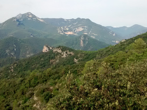
GR11 – Day 44. Albanya to Macanet de Cabrenys
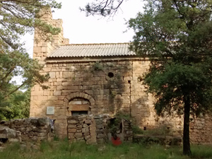
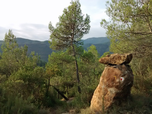
A practical traverse between towns on the GR11 with some interesting features on the way, but outstanding views.
Spanish maps included within these descriptions are provided courtesy of the Spanish IGN and remain © Instituto Geográfico Nacional.
OSM (OpenStreetMap) and OCM (OpenCycleMap) maps are © OpenStreetMap Contributors. The OSM project welcomes contributions from all to enrich the map data, which is made freely available. Land (Thunderforest Landscape) maps are © Thunderforest based on data © OpenStreetMap contributors.
The grade of this walk is VS/B, which means
VS – Very Strenuous: More than 800 metres ascent and/or more than 20km in length with steep, loose or heavily vegetated sections.
B – Less than half the route on rough ground.
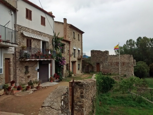
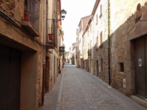
| Nearest town | Albanya |
| Directions to start |
From Figueres just to the E of the AP7 motorway in Catalunya, take the N11 N out of the town and then in Els Hostallets take the GI510 as far as Terrades and then the GI511 to Albanya. |
| Start point (Lat/Long) | 42.305998, 2.722083 Click here to view in Google Maps (in a new browser tab) |
| Length (km) | 18.50 |
| Ascent (metres) | 1060 |
| Walking time (hours) | 3.75 |
| Total time (hours) | 5.5 |
| Recommendations or Restrictions | None |
Download walk descriptionDownload GPS file
Comments
GR11 – Day 44. Albanya to Macanet de Cabrenys — No Comments
HTML tags allowed in your comment: <a href="" title=""> <abbr title=""> <acronym title=""> <b> <blockquote cite=""> <cite> <code> <del datetime=""> <em> <i> <q cite=""> <s> <strike> <strong>