
GR11 – Day 46. La Jonquera to Espolla
This route abandons the true GR11 route part way along in order to find accommodation in what otherwise would be a very long route. The route is “joined up” the following day.
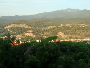
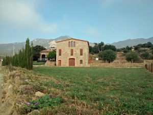
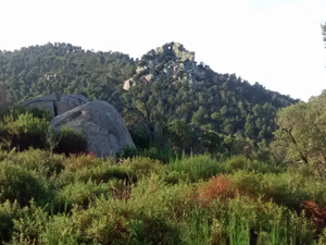
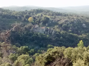
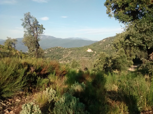
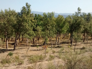
Mixed views and some points of interest.
Spanish maps included within these descriptions are provided courtesy of the Spanish IGN and remain © Instituto Geográfico Nacional.
OSM (OpenStreetMap) and OCM (OpenCycleMap) maps are © OpenStreetMap Contributors. The OSM project welcomes contributions from all to enrich the map data, which is made freely available. Land (Thunderforest Landscape) maps are © Thunderforest based on data © OpenStreetMap contributors.
The grade of this walk is S/A, which means
S – Strenuous: More than 600 metres ascent and/or more than 15km in length with steep, loose or heavily vegetated sections.
A – All good tracks.
| Nearest town | La Jonquera |
| Directions to start |
La Jonquera is a substantial trading spot just before the French border. It has many hotels, supermarkets and eating opportunities. |
| Start point (Lat/Long) | 42.416978, 2.873328 Click here to view in Google Maps (in a new browser tab) |
| Length (km) | 17.50 |
| Ascent (metres) | 601 |
| Walking time (hours) | 2.5 |
| Total time (hours) | 3.66 |
| Recommendations or Restrictions | Slightly more challenging route finding off the official GR11 route. Crosses a military area which may not be possible at all times. Check! |
Download walk descriptionDownload GPS file
Comments
GR11 – Day 46. La Jonquera to Espolla — No Comments
HTML tags allowed in your comment: <a href="" title=""> <abbr title=""> <acronym title=""> <b> <blockquote cite=""> <cite> <code> <del datetime=""> <em> <i> <q cite=""> <s> <strike> <strong>