
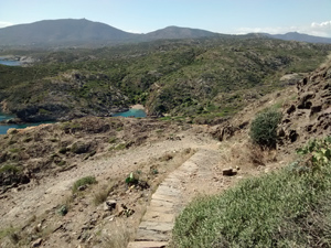
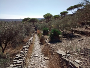
GR11 – Day 48. Port de la Selva to Cadaques via Cap de Creus
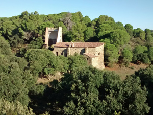
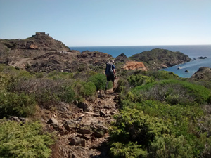
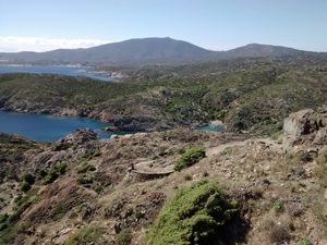
A pleasant walk which is more demanding that you might expect from an essentially “coastal” walk. Good scenery throughout with the promise of the most easterly point of Spain as an intermediate destination.
Spanish maps included within these descriptions are provided courtesy of the Spanish IGN and remain © Instituto Geográfico Nacional.
OSM (OpenStreetMap) and OCM (OpenCycleMap) maps are © OpenStreetMap Contributors. The OSM project welcomes contributions from all to enrich the map data, which is made freely available. Land (Thunderforest Landscape) maps are © Thunderforest based on data © OpenStreetMap contributors.
The grade of this walk is VS/B, which means
VS – Very Strenuous: More than 800 metres ascent and/or more than 20km in length with steep, loose or heavily vegetated sections.
B – Less than half the route on rough ground.
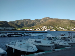
| Nearest town | Port de la Selva |
| Directions to start |
The hotel Spa Cap de Creus lies next to a large marina and marks the plaza from which we start. |
| Start point (Lat/Long) | 42.337908, 3.203674 Click here to view in Google Maps (in a new browser tab) |
| Length (km) | 21.00 |
| Ascent (metres) | 890 |
| Walking time (hours) | 4.33 |
| Total time (hours) | 7 |
| Recommendations or Restrictions | None |
Download walk descriptionDownload GPS file
Comments
GR11 – Day 48. Port de la Selva to Cadaques via Cap de Creus — No Comments
HTML tags allowed in your comment: <a href="" title=""> <abbr title=""> <acronym title=""> <b> <blockquote cite=""> <cite> <code> <del datetime=""> <em> <i> <q cite=""> <s> <strike> <strong>