
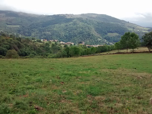
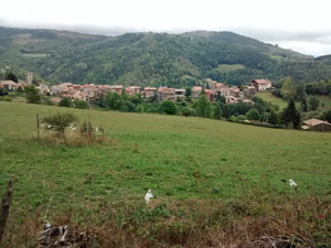
GR11 – Day 40. Setcases to Mollo
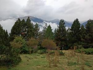
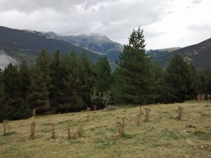
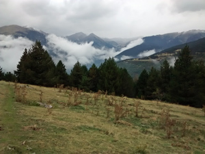
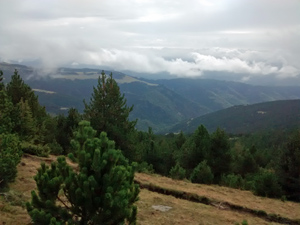
A walk over intermediate Pyrenean hills – some wooded – with good views along the line of our track.
Spanish maps included within these descriptions are provided courtesy of the Spanish IGN and remain © Instituto Geográfico Nacional.
OSM (OpenStreetMap) and OCM (OpenCycleMap) maps are © OpenStreetMap Contributors. The OSM project welcomes contributions from all to enrich the map data, which is made freely available. Land (Thunderforest Landscape) maps are © Thunderforest based on data © OpenStreetMap contributors.
The grade of this walk is VS/B, which means
VS – Very Strenuous: More than 800 metres ascent and/or more than 20km in length with steep, loose or heavily vegetated sections.
B – Less than half the route on rough ground.
| Nearest town | |
| Directions to start |
From the N260 which runs broadly E to W on the S side of the Pyrenees, take the C38 to Camprodon and then the GIV5264 to Setcases. |
| Start point (Lat/Long) | 42.374900, 2.301701 Click here to view in Google Maps (in a new browser tab) |
| Length (km) | 13.00 |
| Ascent (metres) | 930 |
| Walking time (hours) | 3.25 |
| Total time (hours) | 4.66 |
| Recommendations or Restrictions | None. Well waymarked. |
Download walk descriptionDownload GPS file
Comments
GR11 – Day 40. Setcases to Mollo — No Comments
HTML tags allowed in your comment: <a href="" title=""> <abbr title=""> <acronym title=""> <b> <blockquote cite=""> <cite> <code> <del datetime=""> <em> <i> <q cite=""> <s> <strike> <strong>