
Javea La Plana from the Port
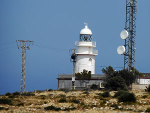
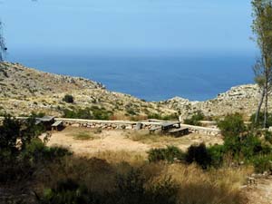
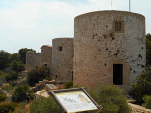
Climb out of Javea on the coastal path to Cap San Antonio lighthouse, past the Molins and back down to Javea.
Spanish maps included within these descriptions are provided courtesy of the Spanish IGN and remain © Instituto Geográfico Nacional.
OSM (OpenStreetMap) and OCM (OpenCycleMap) maps are © OpenStreetMap Contributors. The OSM project welcomes contributions from all to enrich the map data, which is made freely available. Land (Thunderforest Landscape) maps are © Thunderforest based on data © OpenStreetMap contributors.
The grade of this walk is E/A, which means
E – Easy: A walk of up to 4½ hours on good surfaced tracks and less than 200 metres ascent.
A – All on good tracks
| Nearest town | Javea |
| Directions to start |
Enter the port of Javea and turn left when you reach the sea and follow road round till you see the fish market and car park is on your left |
| Start point (Lat/Long) | 38.796892, 0.183279 Click here to view in Google Maps (in a new browser tab) |
| Length (km) | 10.00 |
| Ascent (metres) | 165 |
| Walking time (hours) | 3 |
| Total time (hours) | 4 |
| Recommendations or Restrictions | None |
Download walk descriptionDownload GPS file

Graer easy walk. Much variety.
Nice easier walk. Couple of points on route description as never done walk before. At first sign post keep left. Option. A turn right takes you on exposed path to a cove return same path. Extra 0.8km.
From lighthouse walk down road 200m to last car park on left. Path marked with yellow white on road continues from far end of car park on the left side of road. Path then continues parallel with road on your right to ……