
Los Corrales de Montduver
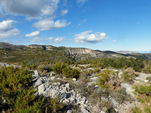
>A delightful excursion on the flanks of Monduver visiting several corrales with views towards the craggy summit and back over the coast.
Spanish maps included within these descriptions are provided courtesy of the Spanish IGN and remain © Instituto Geográfico Nacional.
OSM (OpenStreetMap) and OCM (OpenCycleMap) maps are © OpenStreetMap Contributors. The OSM project welcomes contributions from all to enrich the map data, which is made freely available. Land (Thunderforest Landscape) maps are © Thunderforest based on data © OpenStreetMap contributors.
The grade of this walk is MS/B, which means
MS – Moderately Strenuous: Up to 600 metres ascent and/or no more than 15 km in length with some rough going taken at a reasonable pace.
B – Less than half the route on rough ground
| Nearest town | Xeresa |
| Directions to start |
From exit 60 on the AP7 follow the road back under the motorway and continue ahead to a roundabout where you turn R. Turn R again to enter the town and continue directly ahead over roundabouts to meet a staggered junction where you continue ahead into Carrer Doctor Maranon. At the end of this turn L into Carrer Hortes and then L again into Carrer Monduver. Park in the marked bays. |
| Start point (Lat/Long) | 39.010071, -0.218960 Click here to view in Google Maps (in a new browser tab) |
| Length (km) | 13.00 |
| Ascent (metres) | 540 |
| Walking time (hours) | 4 |
| Total time (hours) | 5.5 |
| Recommendations or Restrictions | None |
Download walk descriptionDownload GPS file
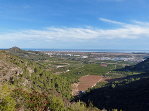
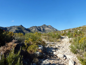
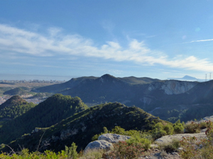
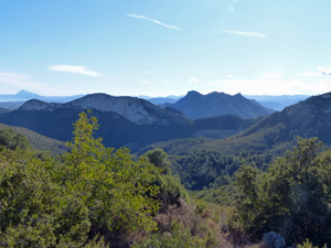
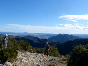
An absolutely stunning walk.