
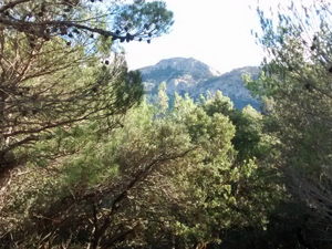
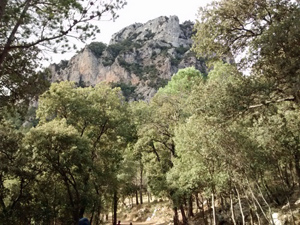
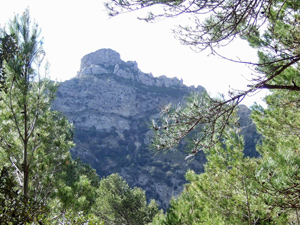
Sant Roc cirque
A walk through open woodland with wonderful views above the canopy to the cirque of mountains at the head of the Barranc del Camp and Les Valls.
Spanish maps included within these descriptions are provided courtesy of the Spanish IGN and remain © Instituto Geográfico Nacional.
OSM (OpenStreetMap) and OCM (OpenCycleMap) maps are © OpenStreetMap Contributors. The OSM project welcomes contributions from all to enrich the map data, which is made freely available. Land (Thunderforest Landscape) maps are © Thunderforest based on data © OpenStreetMap contributors.
The grade of this walk is M/A, which means
M – Moderate: up to 12km in length, less than 400 metres ascent and less than 50% rough going.
A – All on good tracks
| Nearest town | Pauls |
| Directions to start |
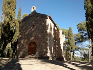
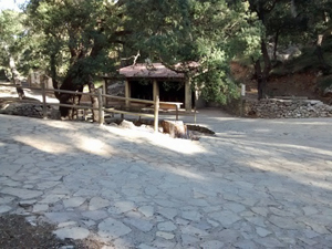
From junction 40 on the AP7 follow the C42 and then C12 along the Ebro valley past Tortosa for a total of 33km before turning off L on the TV 3541 towards Pauls. Pass the large metal Pauls sign and head towards the village to turn L on a minor road just beside the Cooperativa de Sant Roc. Follow this minor road ignoring side turnings to arrive finally up cobbles to the parking area beside the buildings on the LHS. (Bins and BBQ) |
| Start point (Lat/Long) | 40.909764, 0.383743 Click here to view in Google Maps (in a new browser tab) |
| Length (km) | 8.00 |
| Ascent (metres) | 360 |
| Walking time (hours) | 2 |
| Total time (hours) | 2.5 |
| Recommendations or Restrictions | None |
Download walk descriptionDownload GPS file

Comments
Sant Roc cirque — No Comments
HTML tags allowed in your comment: <a href="" title=""> <abbr title=""> <acronym title=""> <b> <blockquote cite=""> <cite> <code> <del datetime=""> <em> <i> <q cite=""> <s> <strike> <strong>