
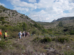
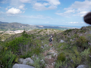
Barrancos de la Canal and Cova extended and clockwise
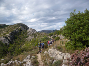
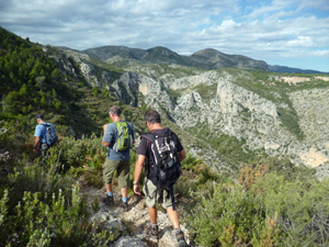
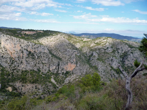
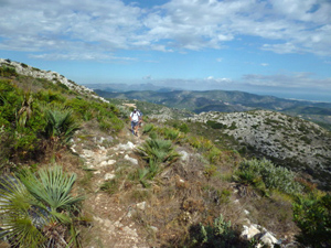
A good workout in remote scenery with fantastic craggy views using little known engineered paths and terraces.
Spanish maps included within these descriptions are provided courtesy of the Spanish IGN and remain © Instituto Geográfico Nacional.
OSM (OpenStreetMap) and OCM (OpenCycleMap) maps are © OpenStreetMap Contributors. The OSM project welcomes contributions from all to enrich the map data, which is made freely available. Land (Thunderforest Landscape) maps are © Thunderforest based on data © OpenStreetMap contributors.
The grade of this walk is MS/B, which means
MS – Moderately Strenuous: Up to 600 metres ascent and/or no more than 15 km in length with some rough going taken at a reasonable pace.
B – Less than half the route on rough ground
| Nearest town | Pego |
| Directions to start |
Pla del Metge Almela. Approaching Pego from:–Orba on CV715 turn L after PEGO town sign (large steel pylon on corner) into wide road. Continue to Stop sign and you’re there. -El Vergel/N332 on CV700 turn R at 2nd island signed Adsubia. Straight on over two islands, L at ‘T’ junction, pass Mercadona on LHS, straight on at next island, straight on at Stop sign, R immediately after college and you’re there. |
| Start point (Lat/Long) | 38.838364, -0.121418 Click here to view in Google Maps (in a new browser tab) |
| Length (km) | 9.50 |
| Ascent (metres) | 480 |
| Walking time (hours) | 3.25 |
| Total time (hours) | 4 |
| Recommendations or Restrictions | None |
Download walk descriptionDownload GPS file
Reallly nice walk, Little strenuous but worth it.