
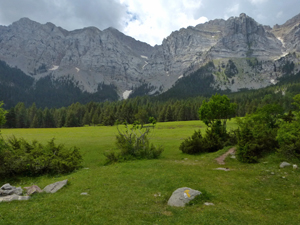
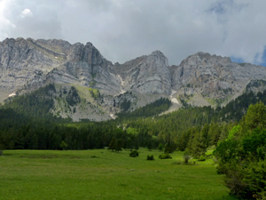
Circuit to Prat de Cadi from Estana
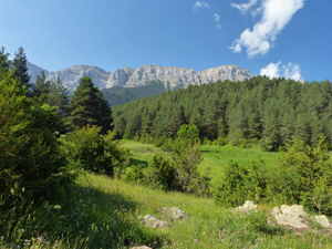
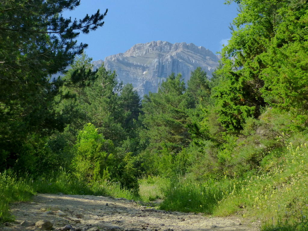
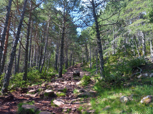
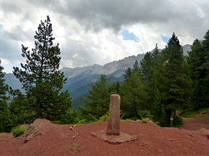
A pleasant round on the N facing slopes of the Cadi ridge with plenty of shade during the ascent, a tough descent and a final uphill – but interesting – section back to the village. Excellent views all around most of the day.
Spanish maps included within these descriptions are provided courtesy of the Spanish IGN and remain © Instituto Geográfico Nacional.
OSM (OpenStreetMap) and OCM (OpenCycleMap) maps are © OpenStreetMap Contributors. The OSM project welcomes contributions from all to enrich the map data, which is made freely available. Land (Thunderforest Landscape) maps are © Thunderforest based on data © OpenStreetMap contributors.
The grade of this walk is MS/B, which means
MS – Moderately Strenuous: Up to 600 metres ascent and/or no more than 15 km in length with some rough going taken at a reasonable pace.
B – Less than half the route on rough ground
| Nearest town | Estana |
| Directions to start |
From the N 260 – the main sub Pyrenean road – leave this at Martinet and take the LV4055 south and soon leave this signed for Estana some 9km further up the hill. There is parking on the RHS just as you enter the village for some 8 – 10 cars. |
| Start point (Lat/Long) | 42.322318, 1.662824 Click here to view in Google Maps (in a new browser tab) |
| Length (km) | 9.00 |
| Ascent (metres) | 530 |
| Walking time (hours) | 3.25 |
| Total time (hours) | 4.5 |
| Recommendations or Restrictions | None |
Download walk descriptionDownload GPS file
Comments
Circuit to Prat de Cadi from Estana — No Comments
HTML tags allowed in your comment: <a href="" title=""> <abbr title=""> <acronym title=""> <b> <blockquote cite=""> <cite> <code> <del datetime=""> <em> <i> <q cite=""> <s> <strike> <strong>