
Penalara from Los Cotos
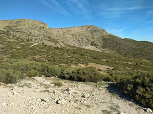
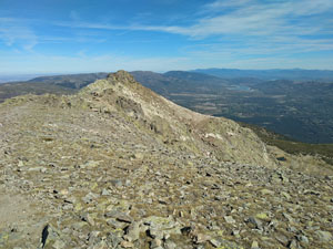
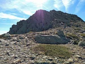
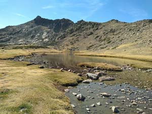
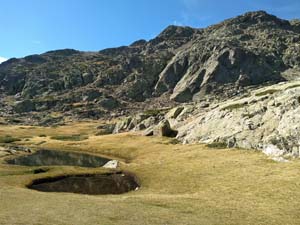
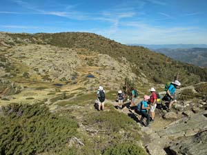
The highest summit in the Gudarrama region followed by a demanding ridge traverse with delightful return route through a lake dotted plateau.
Spanish maps included within these descriptions are provided courtesy of the Spanish IGN and remain © Instituto Geográfico Nacional.
OSM (OpenStreetMap) and OCM (OpenCycleMap) maps are © OpenStreetMap Contributors. The OSM project welcomes contributions from all to enrich the map data, which is made freely available. Land (Thunderforest Landscape) maps are © Thunderforest based on data © OpenStreetMap contributors.
The grade of this walk is S/C/Scr, which means
S – Strenuous: More than 600 metres ascent and/or more than 15km in length with steep, loose or heavily vegetated sections.
C – More than half the route on rough ground.
Scr – Scrambling: This implies the need for handholds to ascend steep rock pitches with a sense of exposure to vertigo and where a slip could lead to a serious accident.
| Nearest town | Cercedilla |
| Directions to start |
Cercedilla is reached to the NW of Madrid from the AP6 motorway at junction 47. The M614 and M622 lead to the village with the railway station on the outskirts. Take the railway from here or drive up through Puerto de Navacerrada and on to Los Cotos. |
| Start point (Lat/Long) | 40.822665, -3.963996 Click here to view in Google Maps (in a new browser tab) |
| Length (km) | 14.00 |
| Ascent (metres) | 680 |
| Walking time (hours) | 4.5 |
| Total time (hours) | 6.5 |
| Recommendations or Restrictions | At 2400m the summit can easily leave you breathless and the ridge from the summit is a demanding rocky traverse. If you cannot complete this it may be better simply to return the way you came from the summit plateau. |
Download walk descriptionDownload GPS file
Comments
Penalara from Los Cotos — No Comments
HTML tags allowed in your comment: <a href="" title=""> <abbr title=""> <acronym title=""> <b> <blockquote cite=""> <cite> <code> <del datetime=""> <em> <i> <q cite=""> <s> <strike> <strong>