
Morella to Xiva de Morella circuit
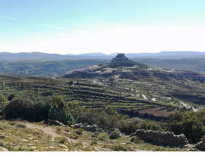
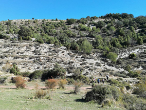
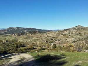
Very varied and pleasant walk that gives a beautiful picture of the surroundings of Morella.
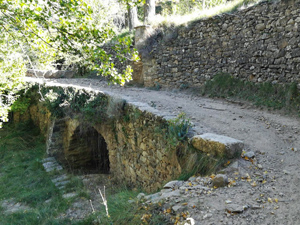
We leave the city via the Torre de Fredes, we follow the white / green marking of the SL-CV 98 and start the loop around Morella.
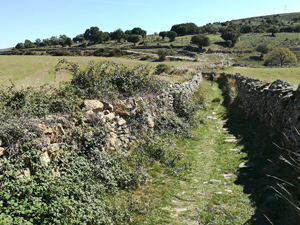
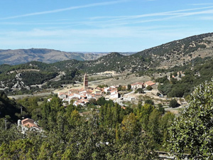
After about 2/3 of the loop, we return to the city wall and from here we follow the Cami vell de Xiva, a path (scarce) marked with white stripes.
Spanish maps included within these descriptions are provided courtesy of the Spanish IGN and remain © Instituto Geográfico Nacional.
OSM (OpenStreetMap) and OCM (OpenCycleMap) maps are © OpenStreetMap Contributors. The OSM project welcomes contributions from all to enrich the map data, which is made freely available. Land (Thunderforest Landscape) maps are © Thunderforest based on data © OpenStreetMap contributors.
The grade of this walk is VS/B, which means
VS – Very Strenuous: More than 800 metres ascent and/or more than 20km in length with steep, loose or heavily vegetated sections.
B – Less than half the route on rough ground.
| Nearest town | Morella |
| Directions to start |
From the AP7 motorway Morella is approximately 60km NW along the N232 road but better if approaching from the S to take the CV10 and then only 35km NW to the village. |
| Start point (Lat/Long) | 40.617359, -0.101405 Click here to view in Google Maps (in a new browser tab) |
| Length (km) | 16.50 |
| Ascent (metres) | 870 |
| Walking time (hours) | 4.75 |
| Total time (hours) | 6.75 |
| Recommendations or Restrictions | None |
Download walk descriptionDownload GPS file
Comments
Morella to Xiva de Morella circuit — No Comments
HTML tags allowed in your comment: <a href="" title=""> <abbr title=""> <acronym title=""> <b> <blockquote cite=""> <cite> <code> <del datetime=""> <em> <i> <q cite=""> <s> <strike> <strong>