
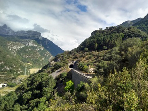
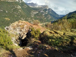
Pena Castellon from Villanua
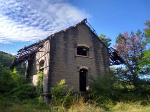
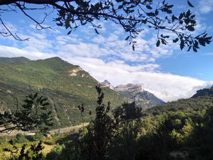
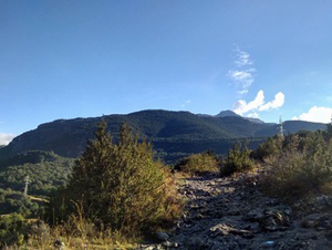
A delightful short walk partly through woodland and up and over the railway station before reaching the lookout of Pena de Castellon and returning along the Camino de Santiago.
Spanish maps included within these descriptions are provided courtesy of the Spanish IGN and remain © Instituto Geográfico Nacional.
OSM (OpenStreetMap) and OCM (OpenCycleMap) maps are © OpenStreetMap Contributors. The OSM project welcomes contributions from all to enrich the map data, which is made freely available. Land (Thunderforest Landscape) maps are © Thunderforest based on data © OpenStreetMap contributors.
The grade of this walk is M/B, which means
M – Moderate: up to 12km in length, less than 400 metres ascent and less than 50% rough going.
B – Less than half the route on rough ground
| Nearest town | Villanua |
| Directions to start |
Coming from the S and Jaca continue up the valley past Castiello de Jaca and past the centre of Villnua. Just as you swing round a bend to the R at the N end of the village take the turning R signed to the village. Drop down and cross a bridge over the river Aragon and then a second bridge beyond which the parking is on the RHS. |
| Start point (Lat/Long) | 42.682380, -0.532250 Click here to view in Google Maps (in a new browser tab) |
| Length (km) | 6.00 |
| Ascent (metres) | 310 |
| Walking time (hours) | 2 |
| Total time (hours) | 2.5 |
| Recommendations or Restrictions | None |
Download walk descriptionDownload GPS file
Comments
Pena Castellon from Villanua — No Comments
HTML tags allowed in your comment: <a href="" title=""> <abbr title=""> <acronym title=""> <b> <blockquote cite=""> <cite> <code> <del datetime=""> <em> <i> <q cite=""> <s> <strike> <strong>