
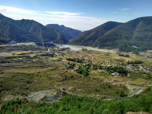
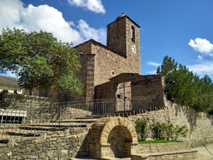
Solana de Artiales
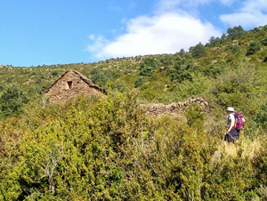
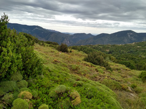
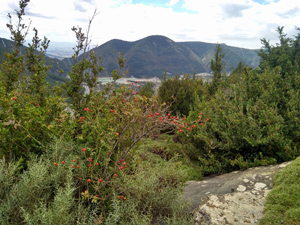
A delightful walk which crosses this ridge on well made paths with views both N and S. The terrain is markedly different on each side of the ridge. Grand views of the distant Pyrenees.
Spanish maps included within these descriptions are provided courtesy of the Spanish IGN and remain © Instituto Geográfico Nacional.
OSM (OpenStreetMap) and OCM (OpenCycleMap) maps are © OpenStreetMap Contributors. The OSM project welcomes contributions from all to enrich the map data, which is made freely available. Land (Thunderforest Landscape) maps are © Thunderforest based on data © OpenStreetMap contributors.
The grade of this walk is S/B, which means
S – Strenuous: More than 600 metres ascent and/or more than 15km in length with steep, loose or heavily vegetated sections.
B – Less than half the route on rough ground.
| Nearest town | Solana de Artiales |
| Directions to start |
From the A23 leave at junction 381 and head towards the village. Just after a set of sweeping bends to left and right the parking and children’s playground is visible on the L. |
| Start point (Lat/Long) | 42.314820, -0.434201 Click here to view in Google Maps (in a new browser tab) |
| Length (km) | 12.50 |
| Ascent (metres) | 656 |
| Walking time (hours) | 3.75 |
| Total time (hours) | 5.25 |
| Recommendations or Restrictions | None |
Download walk descriptionDownload GPS file
Comments
Solana de Artiales — No Comments
HTML tags allowed in your comment: <a href="" title=""> <abbr title=""> <acronym title=""> <b> <blockquote cite=""> <cite> <code> <del datetime=""> <em> <i> <q cite=""> <s> <strike> <strong>