
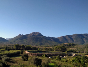
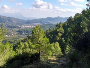
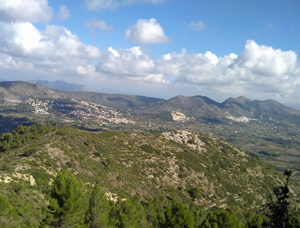
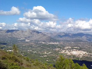
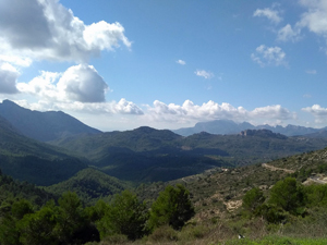
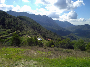
Col de Rates circuit from Alcalali
Twisting through Alcalali campo, and climbing up SL-CV 119 to Mirador Coll de Rates. Then down the PR-CV158 to explore hidden trails cerca Parcent.
Spanish maps included within these descriptions are provided courtesy of the Spanish IGN and remain © Instituto Geográfico Nacional.
OSM (OpenStreetMap) and OCM (OpenCycleMap) maps are © OpenStreetMap Contributors. The OSM project welcomes contributions from all to enrich the map data, which is made freely available. Land (Thunderforest Landscape) maps are © Thunderforest based on data © OpenStreetMap contributors.
The grade of this walk is MS/A, which means
MS – Moderately Strenuous: Up to 600 metres ascent and/or no more than 15 km in length with some rough going taken at a reasonable pace.
A – All on good tracks
| Nearest town | Alcalali |
| Directions to start |
From Alcalali cross roads of CV720 and CV750 head SE (towards Parcent)to cross the bridge over the river Gorgos and soon after this turn R and down a few metres to park on rough ground above the river. |
| Start point (Lat/Long) | 38.748127, -0.045950 Click here to view in Google Maps (in a new browser tab) |
| Length (km) | 12.00 |
| Ascent (metres) | 490 |
| Walking time (hours) | 3.33 |
| Total time (hours) | 4.66 |
| Recommendations or Restrictions | None |
Download walk descriptionDownload GPS file
Comments
Col de Rates circuit from Alcalali — No Comments
HTML tags allowed in your comment: <a href="" title=""> <abbr title=""> <acronym title=""> <b> <blockquote cite=""> <cite> <code> <del datetime=""> <em> <i> <q cite=""> <s> <strike> <strong>