
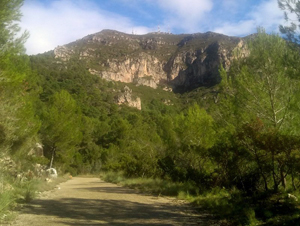
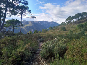
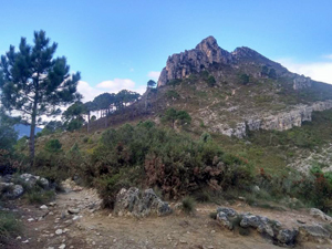
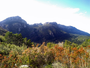
Circuit to Col de Rafelet from Interpretation centre Parpallo Borrell
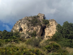
A delightful walk on the flanks of Montduver with extensive views in all directions.
Spanish maps included within these descriptions are provided courtesy of the Spanish IGN and remain © Instituto Geográfico Nacional.
OSM (OpenStreetMap) and OCM (OpenCycleMap) maps are © OpenStreetMap Contributors. The OSM project welcomes contributions from all to enrich the map data, which is made freely available. Land (Thunderforest Landscape) maps are © Thunderforest based on data © OpenStreetMap contributors.
The grade of this walk is M/A, which means
M – Moderate: up to 12km in length, less than 400 metres ascent and less than 50% rough going.
A – All on good tracks
| Nearest town | La Drova |
| Directions to start |
From Gandia follow the CV675 N towards La Drova. Just as you see the village sing the interpretive centre is on the RHS with plenty of parking. It is rarely open. |
| Start point (Lat/Long) | 39.001640, -0.275560 Click here to view in Google Maps (in a new browser tab) |
| Length (km) | 7.00 |
| Ascent (metres) | 305 |
| Walking time (hours) | 2 |
| Total time (hours) | 2.75 |
| Recommendations or Restrictions | None |
Download walk descriptionDownload GPS file

Comments
Circuit to Col de Rafelet from Interpretation centre Parpallo Borrell — No Comments
HTML tags allowed in your comment: <a href="" title=""> <abbr title=""> <acronym title=""> <b> <blockquote cite=""> <cite> <code> <del datetime=""> <em> <i> <q cite=""> <s> <strike> <strong>