
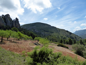
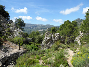
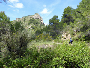
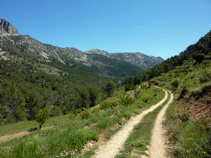
Abdet Hills and valleys
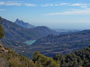
A tour of the hills and valleys above Abdet and below the Serella Ridge. Well defined paths throughout and a tough climb to a spectacular lunch location (Mela Ridge 1122m) with views down to Guadalest and the Algar valley to the sea.
Spanish maps included within these descriptions are provided courtesy of the Spanish IGN and remain © Instituto Geográfico Nacional.
OSM (OpenStreetMap) and OCM (OpenCycleMap) maps are © OpenStreetMap Contributors. The OSM project welcomes contributions from all to enrich the map data, which is made freely available. Land (Thunderforest Landscape) maps are © Thunderforest based on data © OpenStreetMap contributors.
The grade of this walk is S/B, which means
S – Strenuous: More than 600 metres ascent and/or more than 15km in length with steep, loose or heavily vegetated sections.
B – Less than half the route on rough ground.
| Nearest town | Abdet |
| Directions to start |
Take CV70 from Guadalest towards Alcoy. At Km 25.1 turn right towards Abdet on CV 7560. At km 1 turn left and continue uphill taking left hand fork, for 1.3 km where there is a signpost for footpath GR330. Park at side of the road. Do not block forestry track. |
| Start point (Lat/Long) | 38.698330, -0.265650 Click here to view in Google Maps (in a new browser tab) |
| Length (km) | 15.60 |
| Ascent (metres) | 670 |
| Walking time (hours) | 4.5 |
| Total time (hours) | 6 |
| Recommendations or Restrictions | Bring plenty of water as there are no water sources on the trail. As the trail is a series of loops the walk can be shortened easily. For refreshments after the walk there are bars in Abdet and Benimantel – but they all close at 4pm. The “wooden hut” near Xirles is a reliable and economic watering hole! |
Download walk descriptionDownload GPS file
This route has been blocked by a landowner. Do not use it until the issue has been resolved