
Barranco Calvo- Alcala de la Jovada- Barranco Malafi circuit
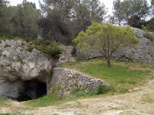
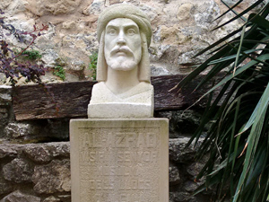
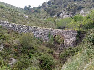
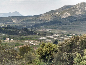
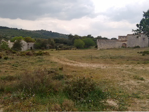
A varied walk in this popular area , an interesting barranco, forest paths and tracks , historic landmarks and spectacular views.
Spanish maps included within these descriptions are provided courtesy of the Spanish IGN and remain © Instituto Geográfico Nacional.
OSM (OpenStreetMap) and OCM (OpenCycleMap) maps are © OpenStreetMap Contributors. The OSM project welcomes contributions from all to enrich the map data, which is made freely available. Land (Thunderforest Landscape) maps are © Thunderforest based on data © OpenStreetMap contributors.
The grade of this walk is VS/B/Scr, which means
VS – Very Strenuous: More than 800 metres ascent and/or more than 20km in length with steep, loose or heavily vegetated sections.
B – Less than half the route on rough ground.
Scr – Scrambling: This implies the need for handholds to ascend steep rock pitches with a sense of exposure to vertigo and where a slip could lead to a serious accident.
| Nearest town | Castell de Castells |
| Directions to start |
CV720 Benichembla to Castells road at Km6 , turn R at Villa Mercedes and continue for 4kms and park on layby at RHS of road |
| Start point (Lat/Long) | 38.769781, -0.194966 Click here to view in Google Maps (in a new browser tab) |
| Length (km) | 21.00 |
| Ascent (metres) | 550 |
| Walking time (hours) | 5.5 |
| Total time (hours) | 6.5 |
| Recommendations or Restrictions | None |
Download walk descriptionDownload GPS file

Excellent varied walk.Steeper and scramble part mainly on first section. After Alcala de Jovada, some tricky navigation before reaching final dramatic barranco de malafi. Lots of history en route,far reaching views. Great.