
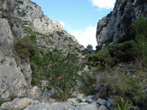
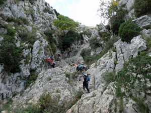
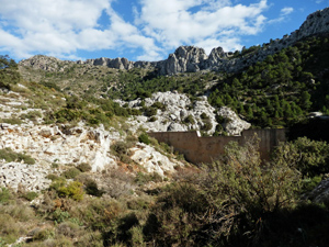
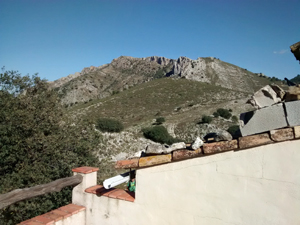
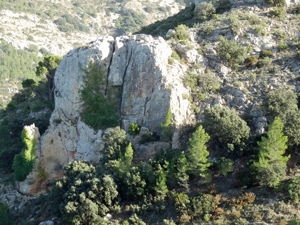
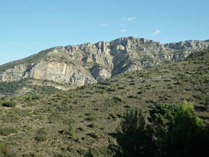
Barranco de Dalt and Clot de la Llacuna circuit
A sustained scramble up a barranco with 3 more diificult pitches, then mostly broad track via a sunken llacuna (depression).
Spanish maps included within these descriptions are provided courtesy of the Spanish IGN and remain © Instituto Geográfico Nacional.
OSM (OpenStreetMap) and OCM (OpenCycleMap) maps are © OpenStreetMap Contributors. The OSM project welcomes contributions from all to enrich the map data, which is made freely available. Land (Thunderforest Landscape) maps are © Thunderforest based on data © OpenStreetMap contributors.
The grade of this walk is MS/B/Scr/X, which means
MS – Moderately Strenuous: Up to 600 metres ascent and/or no more than 15 km in length with some rough going taken at a reasonable pace.
B – Less than half the route on rough ground
Scr – Scrambling: This implies the need for handholds to ascend steep rock pitches with a sense of exposure to vertigo and where a slip could lead to a serious accident.
X – Experienced walkers route: the route requires considerable stamina and/or significant scrambling skills on rough, steep or exposed sections.
| Nearest town | Benichembla |
| Directions to start |
Castell de Castells road. (CV720) |
| Start point (Lat/Long) | 38.750500, -0.158100 Click here to view in Google Maps (in a new browser tab) |
| Length (km) | 13.00 |
| Ascent (metres) | 520 |
| Walking time (hours) | 4 |
| Total time (hours) | 6 |
| Recommendations or Restrictions | Familiarity and comfort with challenging scrambling is a necessity in tackling this route |
Download walk descriptionDownload GPS file
Comments
Barranco de Dalt and Clot de la Llacuna circuit — No Comments
HTML tags allowed in your comment: <a href="" title=""> <abbr title=""> <acronym title=""> <b> <blockquote cite=""> <cite> <code> <del datetime=""> <em> <i> <q cite=""> <s> <strike> <strong>