
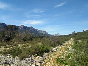
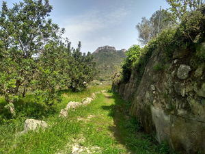
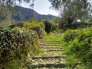
Beniali circuit to Benirrama
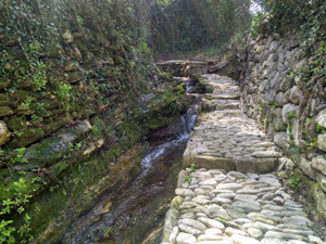
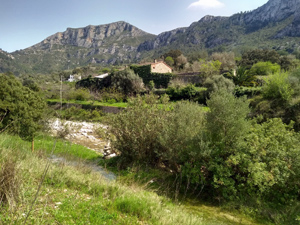
A lovely easy walk through some existing lanes and newly re-established paths on either side of the valley.
Spanish maps included within these descriptions are provided courtesy of the Spanish IGN and remain © Instituto Geográfico Nacional.
OSM (OpenStreetMap) and OCM (OpenCycleMap) maps are © OpenStreetMap Contributors. The OSM project welcomes contributions from all to enrich the map data, which is made freely available. Land (Thunderforest Landscape) maps are © Thunderforest based on data © OpenStreetMap contributors.
The grade of this walk is M/A, which means
M – Moderate: up to 12km in length, less than 400 metres ascent and less than 50% rough going.
A – All on good tracks
| Nearest town | Beniali |
| Directions to start |
Follow the CV700 W from Pego and through Adsubia until you reach the KM45 marker (on LHS). Turn R (signed Parquing!) here down a small lane and curve around to the R at the bottom to find a large village car park (signed). |
| Start point (Lat/Long) | 38.823760, -0.221090 Click here to view in Google Maps (in a new browser tab) |
| Length (km) | 7.50 |
| Ascent (metres) | 230 |
| Walking time (hours) | 2.5 |
| Total time (hours) | 3 |
| Recommendations or Restrictions | None |
Download walk descriptionDownload GPS file
Comments
Beniali circuit to Benirrama — No Comments
HTML tags allowed in your comment: <a href="" title=""> <abbr title=""> <acronym title=""> <b> <blockquote cite=""> <cite> <code> <del datetime=""> <em> <i> <q cite=""> <s> <strike> <strong>