
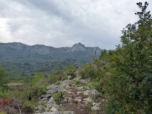
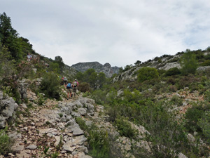
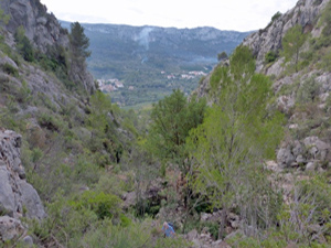
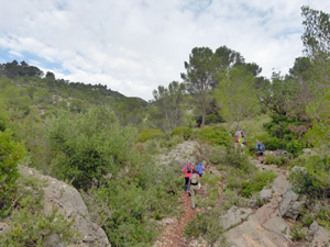
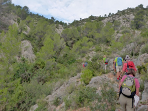
Beniali to Al Patro circuit via Pintures Rupestres
A complex walk with some difficult but short passages along the flanks on both sides of the Gallinera valley. First we visit some excellent cave paintings.
Spanish maps included within these descriptions are provided courtesy of the Spanish IGN and remain © Instituto Geográfico Nacional.
OSM (OpenStreetMap) and OCM (OpenCycleMap) maps are © OpenStreetMap Contributors. The OSM project welcomes contributions from all to enrich the map data, which is made freely available. Land (Thunderforest Landscape) maps are © Thunderforest based on data © OpenStreetMap contributors.
The grade of this walk is S/B, which means
S – Strenuous: More than 600 metres ascent and/or more than 15km in length with steep, loose or heavily vegetated sections.
B – Less than half the route on rough ground.
| Nearest town | Beniali |
| Directions to start |
Follow the CV700 from Pego, through Adsubia and on to Beniali. Park in car park (with bins) just before you enter the village |
| Start point (Lat/Long) | 38.821859, -0.219969 Click here to view in Google Maps (in a new browser tab) |
| Length (km) | 16.50 |
| Ascent (metres) | 770 |
| Walking time (hours) | 5.00 |
| Total time (hours) | 6.00 |
| Recommendations or Restrictions |
Download walk descriptionDownload GPS file
Comments
Beniali to Al Patro circuit via Pintures Rupestres — No Comments
HTML tags allowed in your comment: <a href="" title=""> <abbr title=""> <acronym title=""> <b> <blockquote cite=""> <cite> <code> <del datetime=""> <em> <i> <q cite=""> <s> <strike> <strong>