
Bescaran circuit from Estamariu
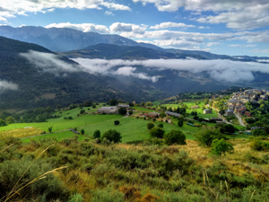
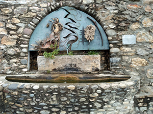
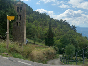
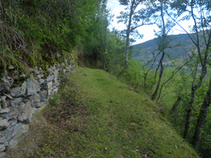
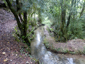
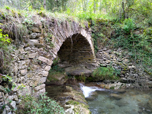
A delightful walk between 2 villages with great views across a deep valley once a steep start has been left behind. Interesting features along the way.
Spanish maps included within these descriptions are provided courtesy of the Spanish IGN and remain © Instituto Geográfico Nacional.
OSM (OpenStreetMap) and OCM (OpenCycleMap) maps are © OpenStreetMap Contributors. The OSM project welcomes contributions from all to enrich the map data, which is made freely available. Land (Thunderforest Landscape) maps are © Thunderforest based on data © OpenStreetMap contributors.
The grade of this walk is MS/A, which means
MS – Moderately Strenuous: Up to 600 metres ascent and/or no more than 15 km in length with some rough going taken at a reasonable pace.
A – All on good tracks
| Nearest town | Estamariu |
| Directions to start |
Using the N260 cross Pyrenees road 5 km to the E of La Seu de Urgell a minor road runs N towards the village of Estamariu. Follow this and park within the village square or on the outskirts. |
| Start point (Lat/Long) | 42.374164, 1.523560 Click here to view in Google Maps (in a new browser tab) |
| Length (km) | 10.00 |
| Ascent (metres) | 490 |
| Walking time (hours) | 3 |
| Total time (hours) | 4 |
| Recommendations or Restrictions | None |
Download walk descriptionDownload GPS file
Lovely walk, beautiful views, not too strenuous although some steep slopes down at the end. It’s a shame there was no cafe or bar open in Bescaran, half way into our journey.