
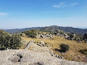
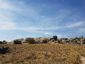
Canto Hastial
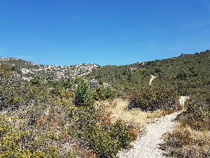
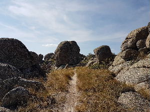
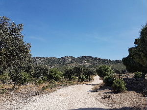
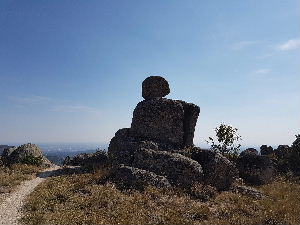
Although this walk only reaches a height of 1350m it affords great views and is mainly good going under foot.
Spanish maps included within these descriptions are provided courtesy of the Spanish IGN and remain © Instituto Geográfico Nacional.
OSM (OpenStreetMap) and OCM (OpenCycleMap) maps are © OpenStreetMap Contributors. The OSM project welcomes contributions from all to enrich the map data, which is made freely available. Land (Thunderforest Landscape) maps are © Thunderforest based on data © OpenStreetMap contributors.
The grade of this walk is MS/B, which means
MS – Moderately Strenuous: Up to 600 metres ascent and/or no more than 15 km in length with some rough going taken at a reasonable pace.
B – Less than half the route on rough ground
| Nearest town | Collado Villalba |
| Directions to start |
From A6 exit at Junction 39 and head towards Collado Villalba on M601. At the roundabout with Hotel FC Villalba turn right signed to Collado Villalba. Next roundabout straight on. Next roundabout turn Left to Alta Vista still on M608. Next roundabout turn Right off the M608 signed to Mirador de la Sierra. Go straight at the next roundabout. At the end of the road you have to turn Right. Go to the next roundabout and return up the road you came down on. Turn right into Calle Camino de la Guija just as the pylon lines are over head. Go to the end of the road and park just past the bus stop. |
| Start point (Lat/Long) | 40.645560, -3.979010 Click here to view in Google Maps (in a new browser tab) |
| Length (km) | 14.30 |
| Ascent (metres) | 571 |
| Walking time (hours) | 4 |
| Total time (hours) | 4.5 |
| Recommendations or Restrictions | None |
Download walk descriptionDownload GPS file
Comments
Canto Hastial — No Comments
HTML tags allowed in your comment: <a href="" title=""> <abbr title=""> <acronym title=""> <b> <blockquote cite=""> <cite> <code> <del datetime=""> <em> <i> <q cite=""> <s> <strike> <strong>