
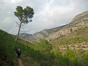
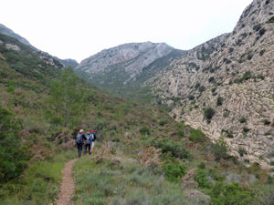
Castell d’Aixa circuit via Barranco de la Fondacha from Pedreguer
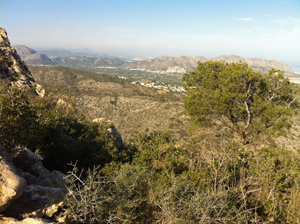
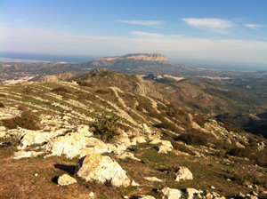
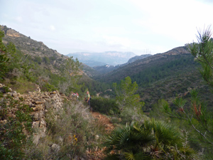
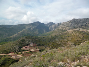
A splendid walk on well-defined paths and tracks marked Y/W for the whole route. Great views particularly from the Castell summit (not to be missed). A tough ascent to the summit but well worth the effort and a lovely return home
Spanish maps included within these descriptions are provided courtesy of the Spanish IGN and remain © Instituto Geográfico Nacional.
OSM (OpenStreetMap) and OCM (OpenCycleMap) maps are © OpenStreetMap Contributors. The OSM project welcomes contributions from all to enrich the map data, which is made freely available. Land (Thunderforest Landscape) maps are © Thunderforest based on data © OpenStreetMap contributors.
The grade of this walk is S/B, which means
S – Strenuous: More than 600 metres ascent and/or more than 15km in length with steep, loose or heavily vegetated sections.
B – Less than half the route on rough ground.
| Nearest town | Pedreguer |
| Directions to start |
Follow the CV720 out of Pedreguer towards Llosa and Alcalali. On the outskirts of the village there is a brown sign pointing to the L for the Ermita. |
| Start point (Lat/Long) | 38.790720, 0.033728 Click here to view in Google Maps (in a new browser tab) |
| Length (km) | 15.00 |
| Ascent (metres) | 750 |
| Walking time (hours) | 4.50 |
| Total time (hours) | 6.00 |
| Recommendations or Restrictions | None |
Download walk descriptionDownload GPS file
Comments
Castell d’Aixa circuit via Barranco de la Fondacha from Pedreguer — No Comments
HTML tags allowed in your comment: <a href="" title=""> <abbr title=""> <acronym title=""> <b> <blockquote cite=""> <cite> <code> <del datetime=""> <em> <i> <q cite=""> <s> <strike> <strong>