
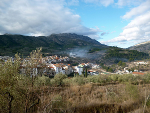
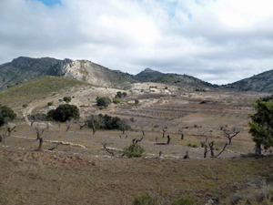
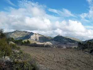
Castell de Castell Rural North
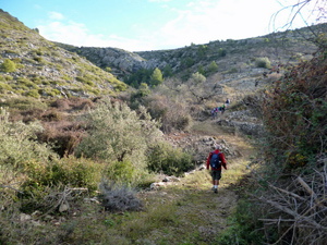
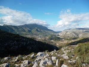
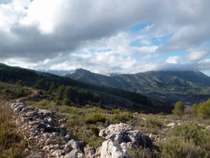
Over and around rural tracks and paths yielding great views of the surrounding mountains without need to climb a peak.
Spanish maps included within these descriptions are provided courtesy of the Spanish IGN and remain © Instituto Geográfico Nacional.
OSM (OpenStreetMap) and OCM (OpenCycleMap) maps are © OpenStreetMap Contributors. The OSM project welcomes contributions from all to enrich the map data, which is made freely available. Land (Thunderforest Landscape) maps are © Thunderforest based on data © OpenStreetMap contributors.
The grade of this walk is MS/A, which means
MS – Moderately Strenuous: Up to 600 metres ascent and/or no more than 15 km in length with some rough going taken at a reasonable pace.
A – All on good tracks
| Nearest town | Castell de Castells |
| Directions to start |
Take the CV720 from Parcent and Benichembla to Castell de Castells. In the village, immediately opposite Hotel Serrella (on the RHS) turn L. After 20 m. turn L again into Calle Jose Antontio and then almost immediately L again down a ramp into the signed parking area. |
| Start point (Lat/Long) | 38.723848, -0.194761 Click here to view in Google Maps (in a new browser tab) |
| Length (km) | 13.00 |
| Ascent (metres) | 430 |
| Walking time (hours) | 3.33 |
| Total time (hours) | 4.33 |
| Recommendations or Restrictions | None |
Download walk descriptionDownload GPS file
Comments
Castell de Castell Rural North — No Comments
HTML tags allowed in your comment: <a href="" title=""> <abbr title=""> <acronym title=""> <b> <blockquote cite=""> <cite> <code> <del datetime=""> <em> <i> <q cite=""> <s> <strike> <strong>