
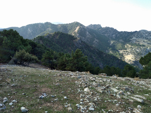
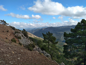
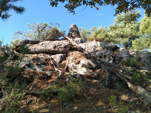
Cerro de las Atajadores, Cerro de los Pinos and Penon Borondo
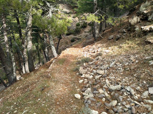
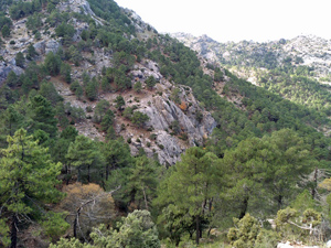
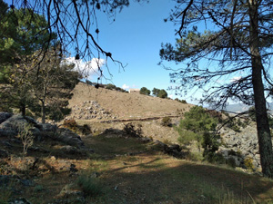
A great ridge walk followed by an amble around an engineered path on the W flanks of the ridge line.
Spanish maps included within these descriptions are provided courtesy of the Spanish IGN and remain © Instituto Geográfico Nacional.
OSM (OpenStreetMap) and OCM (OpenCycleMap) maps are © OpenStreetMap Contributors. The OSM project welcomes contributions from all to enrich the map data, which is made freely available. Land (Thunderforest Landscape) maps are © Thunderforest based on data © OpenStreetMap contributors.
The grade of this walk is S/B, which means
S – Strenuous: More than 600 metres ascent and/or more than 15km in length with steep, loose or heavily vegetated sections.
B – Less than half the route on rough ground.
| Nearest town | Burunchel |
| Directions to start |
From the A92N motorway which runs between Puerto Lumbreras and Granada take the A315 going N and then the A319 to arrive at Cazorla. Continue on this road into the heart of the park, through Burunchel and on up to the Puerto de las Palomas which is the first car park. |
| Start point (Lat/Long) | 37.946888, -2.941322 Click here to view in Google Maps (in a new browser tab) |
| Length (km) | 11.00 |
| Ascent (metres) | 730 |
| Walking time (hours) | 3.66 |
| Total time (hours) | 5.66 |
| Recommendations or Restrictions | Car shuffle needed. A willingness to explore routes through the rocks and boulders to find the best line is necessary! |
Download walk descriptionDownload GPS file
Comments
Cerro de las Atajadores, Cerro de los Pinos and Penon Borondo — No Comments
HTML tags allowed in your comment: <a href="" title=""> <abbr title=""> <acronym title=""> <b> <blockquote cite=""> <cite> <code> <del datetime=""> <em> <i> <q cite=""> <s> <strike> <strong>