
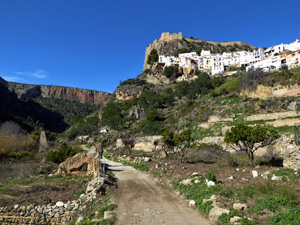
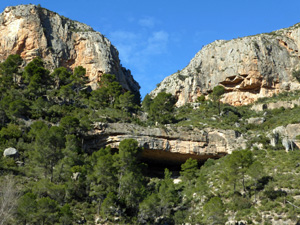
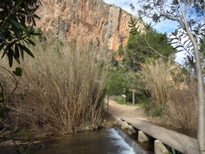
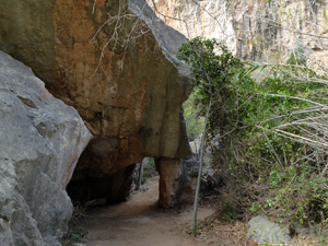
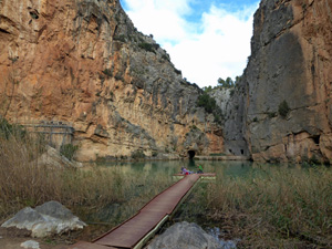
Charco Azul
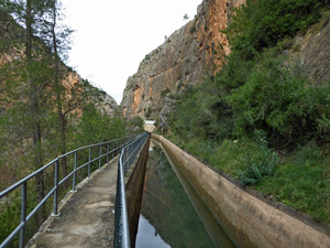
A circular walk on good paths along SL CV-74 to the Charco Azul (blue lagoon) in the Turia River gorge
Spanish maps included within these descriptions are provided courtesy of the Spanish IGN and remain © Instituto Geográfico Nacional.
OSM (OpenStreetMap) and OCM (OpenCycleMap) maps are © OpenStreetMap Contributors. The OSM project welcomes contributions from all to enrich the map data, which is made freely available. Land (Thunderforest Landscape) maps are © Thunderforest based on data © OpenStreetMap contributors.
The grade of this walk is E/A, which means
E – Easy: A walk of up to 4½ hours on good surfaced tracks and less than 200 metres ascent.
A – All on good tracks
| Nearest town | Chulilla |
| Directions to start |
From Valencia bypass (A7/E15) take C35 towards Ademuz for approximately 44km (30 minutes) and leave C35 at Loso Del Obispo. At roundabout pass under C35 and follow signs for Chulilla (CV 394) passing though Loso Del Obispo. After approx 6km you will arrive at Chulilla and park in car park before entering village near urbanizacion Sta Barbara |
| Start point (Lat/Long) | 39.659523, -0.891334 Click here to view in Google Maps (in a new browser tab) |
| Length (km) | 4.60 |
| Ascent (metres) | 147 |
| Walking time (hours) | 2 |
| Total time (hours) | 2.5 |
| Recommendations or Restrictions | Water taps are located in the village at the start & finish of the walk
This route is prone to flash flooding. Do not attempt it if heavy rains are expected. If the river starts to rise rapidly – follow the marked escape routes to higher ground. This route can be combined with the walk to “La Cruz” to make a longer outing as both trails go through the village centre on the way out and back. |
Download walk descriptionDownload GPS file
Comments
Charco Azul — No Comments
HTML tags allowed in your comment: <a href="" title=""> <abbr title=""> <acronym title=""> <b> <blockquote cite=""> <cite> <code> <del datetime=""> <em> <i> <q cite=""> <s> <strike> <strong>