
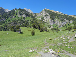
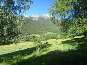
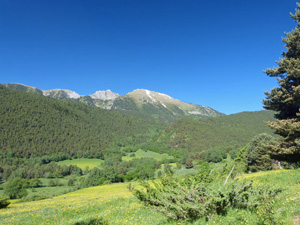
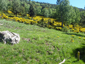
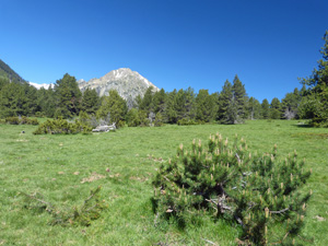
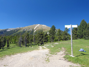
Circuit from Mon Natura at Planes de Son
A delightful round with lots of open ground and extensive views in all directions.
Spanish maps included within these descriptions are provided courtesy of the Spanish IGN and remain © Instituto Geográfico Nacional.
OSM (OpenStreetMap) and OCM (OpenCycleMap) maps are © OpenStreetMap Contributors. The OSM project welcomes contributions from all to enrich the map data, which is made freely available. Land (Thunderforest Landscape) maps are © Thunderforest based on data © OpenStreetMap contributors.
The grade of this walk is MS/A, which means
MS – Moderately Strenuous: Up to 600 metres ascent and/or no more than 15 km in length with some rough going taken at a reasonable pace.
A – All on good tracks
| Nearest town | Son |
| Directions to start |
From the mid N of Spain find the C13 road heading N from Sort. Continue to reach Valencia d’Aneu and here turn L onto the Carretera de Son. In the village of Son follow signs to Mon Natura and park just outside its entrance. |
| Start point (Lat/Long) | 42.618149, 1.081992 Click here to view in Google Maps (in a new browser tab) |
| Length (km) | 10.00 |
| Ascent (metres) | 480 |
| Walking time (hours) | 3.5 |
| Total time (hours) | 4.25 |
| Recommendations or Restrictions | The steep descent might be better taken as ascent by doing this round in reverse. |
Download walk descriptionDownload GPS file
Comments
Circuit from Mon Natura at Planes de Son — No Comments
HTML tags allowed in your comment: <a href="" title=""> <abbr title=""> <acronym title=""> <b> <blockquote cite=""> <cite> <code> <del datetime=""> <em> <i> <q cite=""> <s> <strike> <strong>