
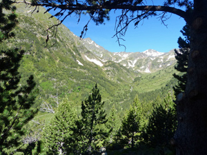
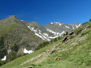
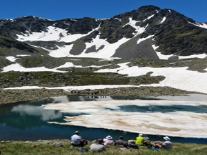
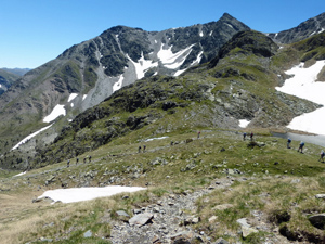
Circuit of Estanys de Ransol
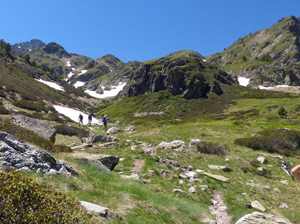
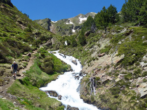
A delightful round into a remote set of mountain fastnesses with extensive views back across to the Pessons range.
Spanish maps included within these descriptions are provided courtesy of the Spanish IGN and remain © Instituto Geográfico Nacional.
OSM (OpenStreetMap) and OCM (OpenCycleMap) maps are © OpenStreetMap Contributors. The OSM project welcomes contributions from all to enrich the map data, which is made freely available. Land (Thunderforest Landscape) maps are © Thunderforest based on data © OpenStreetMap contributors.
The grade of this walk is S/B, which means
S – Strenuous: More than 600 metres ascent and/or more than 15km in length with steep, loose or heavily vegetated sections.
B – Less than half the route on rough ground.
| Nearest town | El Tarter |
| Directions to start | |
| Start point (Lat/Long) | 42.612100, 1.637894 Click here to view in Google Maps (in a new browser tab) |
| Length (km) | 8.00 |
| Ascent (metres) | 610 |
| Walking time (hours) | 3 |
| Total time (hours) | 5 |
| Recommendations or Restrictions | Entering Andorra from the S (in Spain) proceed up along the CG1 to Andorra la Vella and then the CG2 signed towards France. Continue through Encamp and then find a turn on the LHS at a roundabout just before El Tarter signed to Ransol. Continue ahead to park in the turning circle or on the side of the road. Avoid parking on yellow lines. |
Download walk descriptionDownload GPS file
Comments
Circuit of Estanys de Ransol — No Comments
HTML tags allowed in your comment: <a href="" title=""> <abbr title=""> <acronym title=""> <b> <blockquote cite=""> <cite> <code> <del datetime=""> <em> <i> <q cite=""> <s> <strike> <strong>