
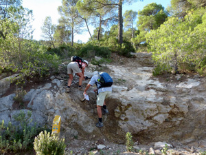
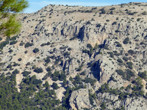
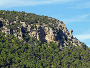
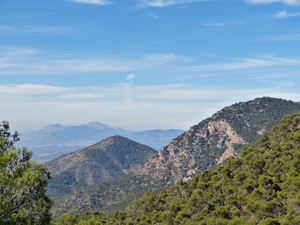
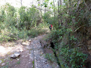
Collado Bermeja via barranco del Buey
A very pleasant walk all on marked tracks and paths with splendid views especially from the col
Spanish maps included within these descriptions are provided courtesy of the Spanish IGN and remain © Instituto Geográfico Nacional.
OSM (OpenStreetMap) and OCM (OpenCycleMap) maps are © OpenStreetMap Contributors. The OSM project welcomes contributions from all to enrich the map data, which is made freely available. Land (Thunderforest Landscape) maps are © Thunderforest based on data © OpenStreetMap contributors.
The grade of this walk is MS/A, which means
MS – Moderately Strenuous: Up to 600 metres ascent and/or no more than 15 km in length with some rough going taken at a reasonable pace.
A – All on good tracks
| Nearest town | El Berro |
| Directions to start |
Turn R out of the El Berro campsite (in car!) then R at a T junction. (stop sign) Continue to Casa Forestal Huerta Espuna (a large building), turn R and park opposite restaurant |
| Start point (Lat/Long) | 37.857443, -1.517200 Click here to view in Google Maps (in a new browser tab) |
| Length (km) | 14.50 |
| Ascent (metres) | 420 |
| Walking time (hours) | 3.66 |
| Total time (hours) | 5.00 |
| Recommendations or Restrictions | None |
Download walk descriptionDownload GPS file
Comments
Collado Bermeja via barranco del Buey — No Comments
HTML tags allowed in your comment: <a href="" title=""> <abbr title=""> <acronym title=""> <b> <blockquote cite=""> <cite> <code> <del datetime=""> <em> <i> <q cite=""> <s> <strike> <strong>