
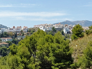
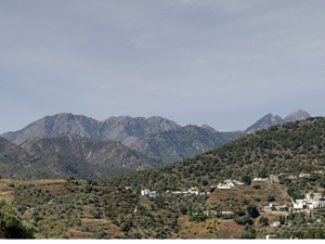
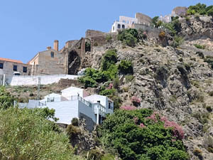
Cuesta del Rio Higueron circuit from Frigiliana
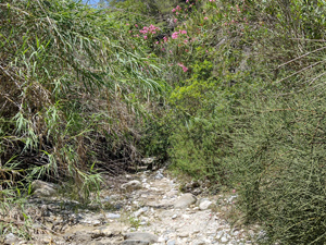
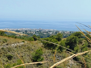
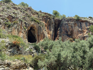
An ideal half day walk – down a tree lined riverbed with several ‘cascades ‘, delightful birdsong then through farmland, pine forest, along a low ridge with extensive views of the mountains and coast.
Spanish maps included within these descriptions are provided courtesy of the Spanish IGN and remain © Instituto Geográfico Nacional.
OSM (OpenStreetMap) and OCM (OpenCycleMap) maps are © OpenStreetMap Contributors. The OSM project welcomes contributions from all to enrich the map data, which is made freely available. Land (Thunderforest Landscape) maps are © Thunderforest based on data © OpenStreetMap contributors.
The grade of this walk is M/B, which means
M – Moderate: up to 12km in length, less than 400 metres ascent and less than 50% rough going.
B – Less than half the route on rough ground
| Nearest town | Frigiliana |
| Directions to start |
Plaza del Ingenio .(original Palace of Counts of Frigiliana and only remaining molasses (cane honey)factory in Europe) From the A7 near Nerja take the MA-5105 to the centre of Frigiliana, |
| Start point (Lat/Long) | 36.791429, -3.894934 Click here to view in Google Maps (in a new browser tab) |
| Length (km) | 6.15 |
| Ascent (metres) | 400 |
| Walking time (hours) | 2 |
| Total time (hours) | 2 |
| Recommendations or Restrictions | The walk was written up without any stops and at a reasonable pace – extra time should be allowed for group walking. |
Download walk descriptionDownload GPS file
Comments
Cuesta del Rio Higueron circuit from Frigiliana — No Comments
HTML tags allowed in your comment: <a href="" title=""> <abbr title=""> <acronym title=""> <b> <blockquote cite=""> <cite> <code> <del datetime=""> <em> <i> <q cite=""> <s> <strike> <strong>