
Dos Fuentes – Arechinos circuit
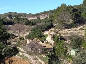
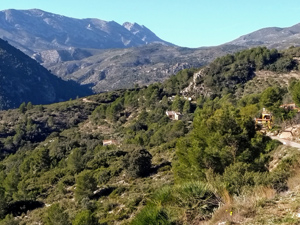
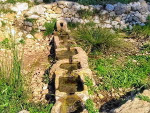
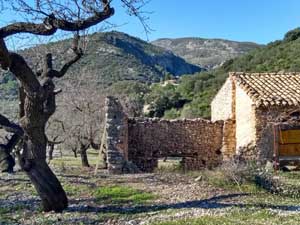
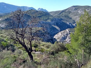
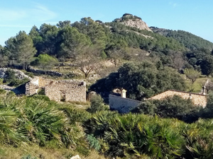
Spectacular views from this popular ridge,then descend down a reopened path,visit 2 Fonts, pass 2 ruins before ascending to reach and scramble up the rock strewn Arechinos and return across scrubland to the cars.
Spanish maps included within these descriptions are provided courtesy of the Spanish IGN and remain © Instituto Geográfico Nacional.
OSM (OpenStreetMap) and OCM (OpenCycleMap) maps are © OpenStreetMap Contributors. The OSM project welcomes contributions from all to enrich the map data, which is made freely available. Land (Thunderforest Landscape) maps are © Thunderforest based on data © OpenStreetMap contributors.
The grade of this walk is MS/C, which means
MS – Moderately Strenuous: Up to 600 metres ascent and/or no more than 15 km in length with some rough going taken at a reasonable pace.
C – More than half the route on rough ground.
| Nearest town | Benimaurell |
| Directions to start |
On entering Benimaurell village take first R and follow round edge of village,past Bar Les Rogetes (Oasis), L at bins then R and continue up to Col and park near bar/restaurant. |
| Start point (Lat/Long) | 38.768538, -0.151607 Click here to view in Google Maps (in a new browser tab) |
| Length (km) | 10.00 |
| Ascent (metres) | 550 |
| Walking time (hours) | 3.75 |
| Total time (hours) | 4.25 |
| Recommendations or Restrictions | The rocky ascent and last ridge need some navigational skill. |
Download walk descriptionDownload GPS file
Comments
Dos Fuentes – Arechinos circuit — No Comments
HTML tags allowed in your comment: <a href="" title=""> <abbr title=""> <acronym title=""> <b> <blockquote cite=""> <cite> <code> <del datetime=""> <em> <i> <q cite=""> <s> <strike> <strong>