
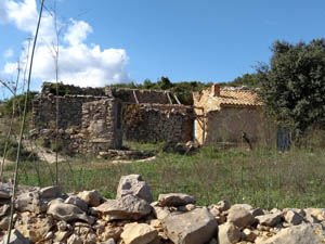
El Cau
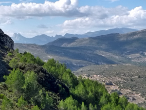
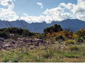
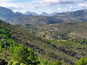
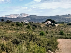
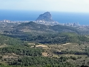
A popular circular route leading up and along a low lying ridge with extensive views down to the coast and inland to the local mountains with return down the eastern flank.
Spanish maps included within these descriptions are provided courtesy of the Spanish IGN and remain © Instituto Geográfico Nacional.
OSM (OpenStreetMap) and OCM (OpenCycleMap) maps are © OpenStreetMap Contributors. The OSM project welcomes contributions from all to enrich the map data, which is made freely available. Land (Thunderforest Landscape) maps are © Thunderforest based on data © OpenStreetMap contributors.
The grade of this walk is MS/C/Scr, which means
MS – Moderately Strenuous: Up to 600 metres ascent and/or no more than 15 km in length with some rough going taken at a reasonable pace.
C – More than half the route on rough ground.
Scr – Scrambling: This implies the need for handholds to ascend steep rock pitches with a sense of exposure to vertigo and where a slip could lead to a serious accident.
| Nearest town | Benissa |
| Directions to start |
From N332 Calpe to Benissa at south side of Benissa take turn to Jalon (CV750), near km 10 on layby at LHS near info sign for Benissa Municipal Tennis, Padel and Piscina |
| Start point (Lat/Long) | 38.723557, 0.027748 Click here to view in Google Maps (in a new browser tab) |
| Length (km) | 12.00 |
| Ascent (metres) | 580 |
| Walking time (hours) | 3.75 |
| Total time (hours) | 4.75 |
| Recommendations or Restrictions | Includes a short downhill section on loose ,rocky terrain |
Download walk descriptionDownload GPS file
Comments
El Cau — No Comments
HTML tags allowed in your comment: <a href="" title=""> <abbr title=""> <acronym title=""> <b> <blockquote cite=""> <cite> <code> <del datetime=""> <em> <i> <q cite=""> <s> <strike> <strong>