
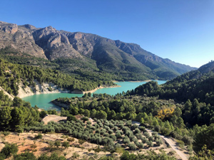
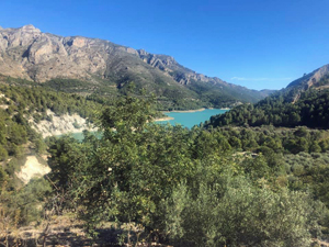
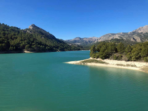
Embalse de Guadalest
A simple-to-navigate tour of the Guadalest Embalse (Reservoir) on good tracks and quiet lanes.
Spanish maps included within these descriptions are provided courtesy of the Spanish IGN and remain © Instituto Geográfico Nacional.
OSM (OpenStreetMap) and OCM (OpenCycleMap) maps are © OpenStreetMap Contributors. The OSM project welcomes contributions from all to enrich the map data, which is made freely available. Land (Thunderforest Landscape) maps are © Thunderforest based on data © OpenStreetMap contributors.
The grade of this walk is M/A, which means
M – Moderate: up to 12km in length, less than 400 metres ascent and less than 50% rough going.
A – All on good tracks
| Nearest town | Beniarda |
| Directions to start |
From Guadalest take CV70 through Benimantell towards Alcoy. At approx km 30.5 turn right onto CV757 and drive down into village of Beniardá. Just past Restaurant La Mezquita, park in public car park on left-hand side of the road. |
| Start point (Lat/Long) | 38.682310, -0.216880 Click here to view in Google Maps (in a new browser tab) |
| Length (km) | 10.00 |
| Ascent (metres) | 220 |
| Walking time (hours) | 2.5 |
| Total time (hours) | 3 |
| Recommendations or Restrictions | None |
Download walk descriptionDownload GPS file
Comments
Embalse de Guadalest — No Comments
HTML tags allowed in your comment: <a href="" title=""> <abbr title=""> <acronym title=""> <b> <blockquote cite=""> <cite> <code> <del datetime=""> <em> <i> <q cite=""> <s> <strike> <strong>