
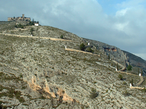
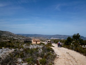
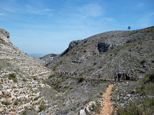
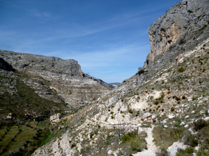
Ermita de Bocairent and Barranco dels Tarongers
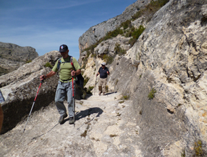
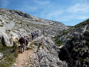
A lovely walk up to a lonely ermita, over the hills and back up some fascinating barrancos with a final walk through the idyllic village streets.
Spanish maps included within these descriptions are provided courtesy of the Spanish IGN and remain © Instituto Geográfico Nacional.
OSM (OpenStreetMap) and OCM (OpenCycleMap) maps are © OpenStreetMap Contributors. The OSM project welcomes contributions from all to enrich the map data, which is made freely available. Land (Thunderforest Landscape) maps are © Thunderforest based on data © OpenStreetMap contributors.
The grade of this walk is S/B, which means
S – Strenuous: More than 600 metres ascent and/or more than 15km in length with steep, loose or heavily vegetated sections.
B – Less than half the route on rough ground.
| Nearest town | Bocairent |
| Directions to start |
Travel north from Cocentaina on N340. Exit on the outskirts of Muro to join the CV700 towards Agres and Alfafara. Pass both of these villages to join the CV81 where you turn L to soon reach the outskirts of Bocairent. At the roundabout turn R, cross the bridge and turn R again into Avenida Espana. Park here. |
| Start point (Lat/Long) | 38.765769, -0.609776 Click here to view in Google Maps (in a new browser tab) |
| Length (km) | 13.00 |
| Ascent (metres) | 620 |
| Walking time (hours) | 3.33 |
| Total time (hours) | 4.50 |
| Recommendations or Restrictions |
Download walk descriptionDownload GPS file
Comments
Ermita de Bocairent and Barranco dels Tarongers — No Comments
HTML tags allowed in your comment: <a href="" title=""> <abbr title=""> <acronym title=""> <b> <blockquote cite=""> <cite> <code> <del datetime=""> <em> <i> <q cite=""> <s> <strike> <strong>