
Flanks of Mediodia
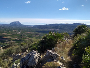
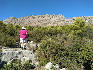
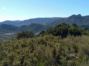
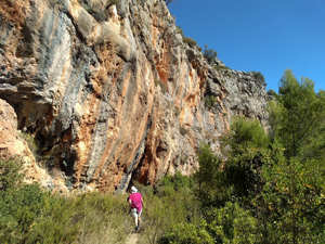
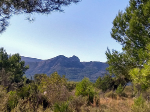
A short but challenging walk on the flanks of Mediodia using defined footpaths and quiet roads as a pre-lunch or short work out. Once above valley level the views out across the valley are excellent.
Spanish maps included within these descriptions are provided courtesy of the Spanish IGN and remain © Instituto Geográfico Nacional.
OSM (OpenStreetMap) and OCM (OpenCycleMap) maps are © OpenStreetMap Contributors. The OSM project welcomes contributions from all to enrich the map data, which is made freely available. Land (Thunderforest Landscape) maps are © Thunderforest based on data © OpenStreetMap contributors.
The grade of this walk is M/C, which means
M – Moderate: up to 12km in length, less than 400 metres ascent and less than 50% rough going.
C – More than half the route on rough ground
| Nearest town | Tormos |
| Directions to start |
Coming from the south (Orba) on the CV715 at the outskirts of the village turn L (signposted to Costera del Moll) into Calle Pozo. Take the next L (Carrer Val de Llaguart) and then take the 2nd turn on the RHS just after the bins. Drive to the end opposite a plaza and turn L into Avenguda Joan Carles I. Drive a few hundred metres along this past the playground and piscina and park on open ground 50m further on the LHS |
| Start point (Lat/Long) | 38.798900, -0.077100 Click here to view in Google Maps (in a new browser tab) |
| Length (km) | 6.00 |
| Ascent (metres) | 330 |
| Walking time (hours) | 2.75 |
| Total time (hours) | 3 |
| Recommendations or Restrictions | None |
Download walk descriptionDownload GPS file
Comments
Flanks of Mediodia — No Comments
HTML tags allowed in your comment: <a href="" title=""> <abbr title=""> <acronym title=""> <b> <blockquote cite=""> <cite> <code> <del datetime=""> <em> <i> <q cite=""> <s> <strike> <strong>