
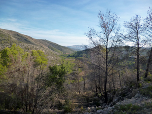
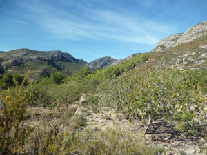
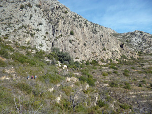
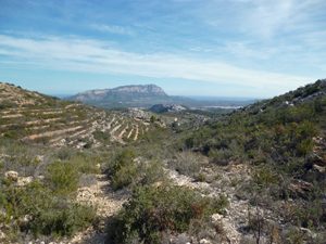
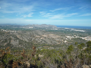
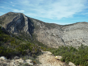
Font d’Aixa Valley and Castell d’Aixa Ridge from Lliber
A walk into the Aixa valley and Font before an ascent to the Castell d’Aixa and return over the mountain to Lliber.
Spanish maps included within these descriptions are provided courtesy of the Spanish IGN and remain © Instituto Geográfico Nacional.
OSM (OpenStreetMap) and OCM (OpenCycleMap) maps are © OpenStreetMap Contributors. The OSM project welcomes contributions from all to enrich the map data, which is made freely available. Land (Thunderforest Landscape) maps are © Thunderforest based on data © OpenStreetMap contributors.
The grade of this walk is S/B, which means
S – Strenuous: More than 600 metres ascent and/or more than 15km in length with steep, loose or heavily vegetated sections.
B – Less than half the route on rough ground.
| Nearest town | Lliber |
| Directions to start |
From Jalon drive on the CV 748 towards Lliber. Just before the village cross the short bridge over the concrete channel and immediately turn down L. (If you reach the traffic lights you have gone too far). The road leads along the base of the concrete channel. Park here. |
| Start point (Lat/Long) | 38.743116, 0.003144 Click here to view in Google Maps (in a new browser tab) |
| Length (km) | 17.00 |
| Ascent (metres) | 640 |
| Walking time (hours) | 4.75 |
| Total time (hours) | 6.00 |
| Recommendations or Restrictions | None |
Download walk descriptionDownload GPS file
Comments
Font d’Aixa Valley and Castell d’Aixa Ridge from Lliber — No Comments
HTML tags allowed in your comment: <a href="" title=""> <abbr title=""> <acronym title=""> <b> <blockquote cite=""> <cite> <code> <del datetime=""> <em> <i> <q cite=""> <s> <strike> <strong>