
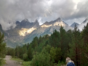
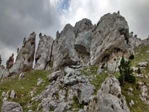
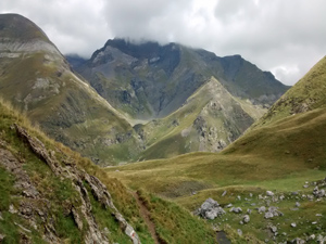
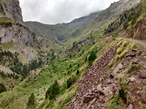
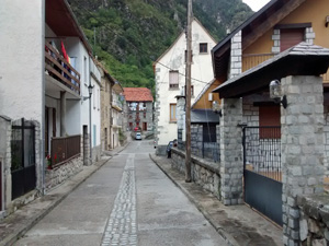
GR11 – Day 20. La Pineta to Parzan
A walk up to a moderate summit ridge with panoramic views followed by a straightforward track descent to Parzan.
Spanish maps included within these descriptions are provided courtesy of the Spanish IGN and remain © Instituto Geográfico Nacional.
OSM (OpenStreetMap) and OCM (OpenCycleMap) maps are © OpenStreetMap Contributors. The OSM project welcomes contributions from all to enrich the map data, which is made freely available. Land (Thunderforest Landscape) maps are © Thunderforest based on data © OpenStreetMap contributors.
The grade of this walk is VS/B, which means
VS – Very Strenuous: More than 800 metres ascent and/or more than 20km in length with steep, loose or heavily vegetated sections.
B – Less than half the route on rough ground.
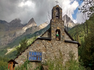
| Nearest town | Bielsa |
| Directions to start |
From northern Spain, E of both Jaca and Sabinanigo take the A138 north to find Bielsa village. There turn L on a minor road towards La Pineta. The refuge is down a small lane on the LHS about three quarters the way up the road towards the Parador. |
| Start point (Lat/Long) | 42.666014, 0.103514 Click here to view in Google Maps (in a new browser tab) |
| Length (km) | 21.00 |
| Ascent (metres) | 1090 |
| Walking time (hours) | 5.25 |
| Total time (hours) | 6.75 |
| Recommendations or Restrictions | None |
Download walk descriptionDownload GPS file
Comments
GR11 – Day 20. La Pineta to Parzan — No Comments
HTML tags allowed in your comment: <a href="" title=""> <abbr title=""> <acronym title=""> <b> <blockquote cite=""> <cite> <code> <del datetime=""> <em> <i> <q cite=""> <s> <strike> <strong>